
1949 Map of Middleburg
USGS Topo · Published 1953About this map
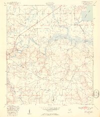
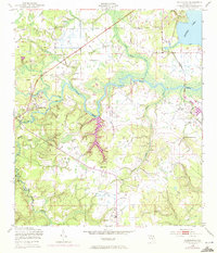
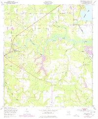
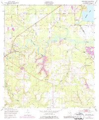
Middleburg sits at the vital confluence of the North Fork and South Fork Black Creek, serving as a focal point for this rural Florida landscape in the years following World War II. The map reveals a community deeply tied to its waterways and early industrial roots, evidenced by the Rideout Ferry crossing and abandoned kilns near Doctors Inlet. While the Atlantic Coast Line railroad cuts through the northeastern corner, the interior remains defined by sprawling creek systems like Bradley Creek and Log Mill Creek.
Find a feature on this map
34 named features on this map. Tap any name to fly to it.
Don’t see what you’re looking for? This feature index may not catch every label — zoom into the map to look around manually.
Map Details
Editions of this 1949 Middleburg Map
5 editions found
Other maps of this area

1917 · Orange Park
USGS Topo · 1:62,500

1918 · Middleburg
USGS Topo · 1:62,500

1918 · Orange Park
USGS Topo · 1:62,500

1941 · Middleburg
USGS Topo · 1:62,500

1942 · Ates Creek
USGS Topo · 1:62,500

1947 · Bostwick
USGS Topo · 1:50,000

1948 · Jacksonville
USGS Topo · 1:250,000

1949 · Middleburg SW
USGS Topo · 1:24,000

1949 · Green Cove Springs
USGS Topo · 1:24,000

1949 · Fiftone
USGS Topo · 1:24,000