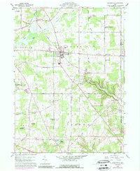
1959 Map of Middlefield
USGS Topo · Published 1989About this map
Middlefield serves as the central hub of this eastern Geauga County landscape, where the Baltimore and Ohio Railroad angles northwest toward Burton Station. The terrain is defined by the headwaters of the Cuyahoga River and the meandering course of Swine Creek, which carves a distinct valley as it flows toward Bundysburg and the Trumbull County line. A mix of agricultural tradition and mid-century development is evident in the presence of the Geauga County Airport and the Shrine of Maria-Poch near the southern border.
Find a feature on this map
55 named features on this map. Tap any name to fly to it.
Don’t see what you’re looking for? This feature index may not catch every label — zoom into the map to look around manually.
Map Details
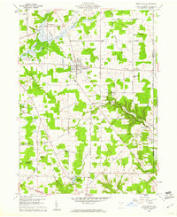
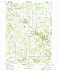
Editions of this 1959 Middlefield Map
Other maps of this area

1904 · Chardon
USGS Topo · 1:62,500

1905 · Bristolville
USGS Topo · 1:62,500

1905 · Garrettsville
USGS Topo · 1:62,500

1905 · Jefferson
USGS Topo · 1:62,500

1906 · Chardon
USGS Topo · 1:62,500

1907 · Bristolville
USGS Topo · 1:62,500

1907 · Jefferson
USGS Topo · 1:62,500

1907 · Garrettsville
USGS Topo · 1:62,500

1950 · Cleveland
USGS Topo · 1:250,000

1952 · West Farmington
USGS Topo · 1:24,000
Featured Places
- Mesopotamia Township, OH
- Farmington Township, OH
- Burton Township, OH
- Maple Grove, Troy Township
- Parkman Township, OH