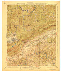
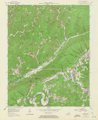
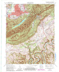
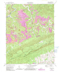
1930 Map of Middlesboro
USGS Topo · Published 1930This historical map portrays the area of Middlesboro in 1930, primarily covering Bell County as well as portions of Virginia and Tennessee. Featuring a scale of 1:62500, this map provides a highly detailed snapshot of the terrain, roads, buildings, counties, and historical landmarks in the Middlesboro region at the time. Published in 1930, it is one of 4 known editions of this map due to revisions or reprints.
Find a feature on this map
97 named features on this map. Tap any name to fly to it.
Don’t see what you’re looking for? This feature index may not catch every label — zoom into the map to look around manually.
Map Details
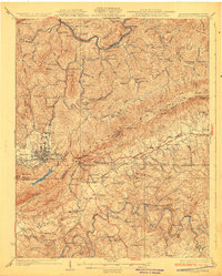
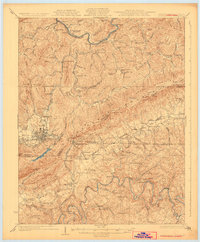
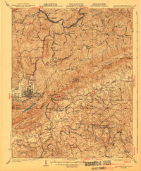
Editions of this 1930 Middlesboro Map
4 editions found
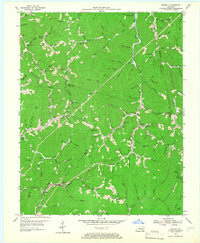
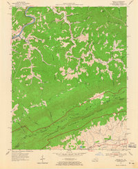
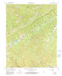
Historical Maps of Meldrum Through Time
19 maps found

1903 Middlesboro
Bell County, KY

1927 Middlesboro
Bell County, KY
1930 Middlesboro
Bell County, KY

1935 Varilla
Bell County, KY

1952 Davisburg
Bell County, KY
1954 Balkan
Bell County, KY
1954 Beverly
Bell County, KY

1954 Middlesboro North
Bell County, KY
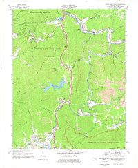
1954 Varilla
Bell County, KY
1959 Kayjay
Bell County, KY
1959 Middlesboro North
Bell County, KY
1974 Balkan
Bell County, KY
1974 Middlesboro North
Bell County, KY
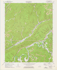
1974 Middlesboro South
Bell County, KY
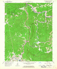
1974 Varilla
Bell County, KY
1976 Middlesboro North
Bell County, KY

1976 Middlesboro South
Bell County, KY

1976 Varilla
Bell County, KY

1979 Beverly
Bell County, KY