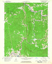
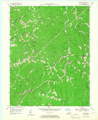
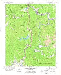
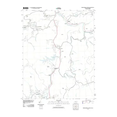
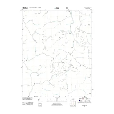
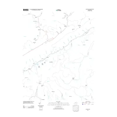
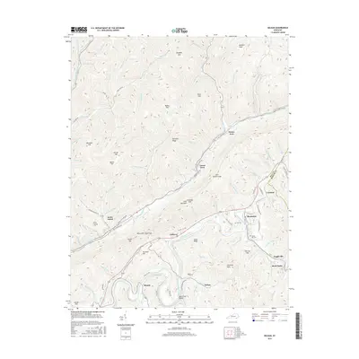
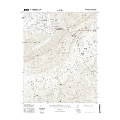
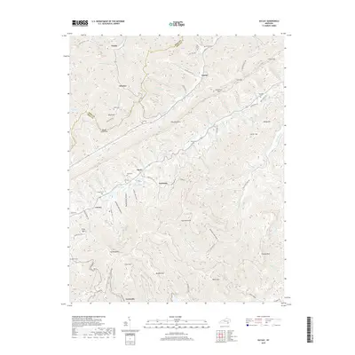
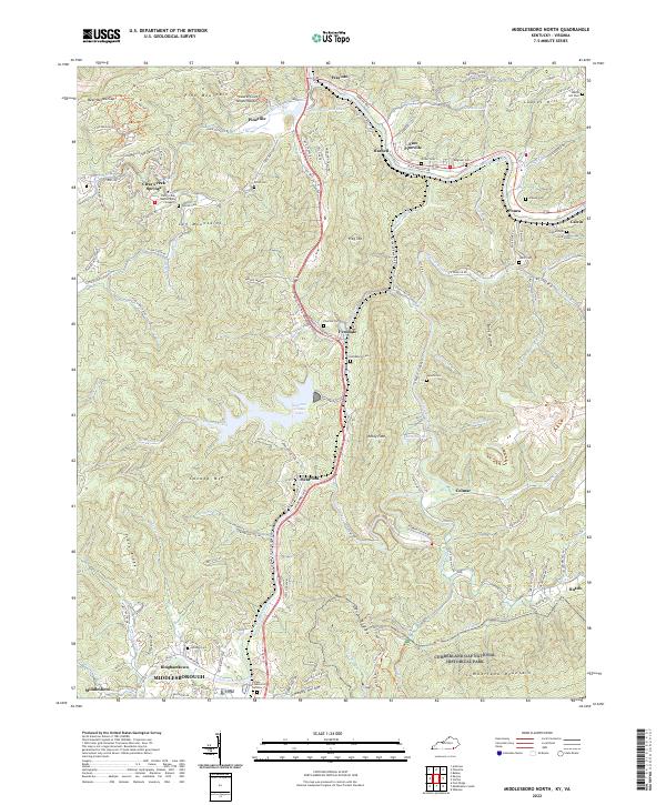
1959 Map of Middlesboro North
USGS Topo · Published 1967About this map
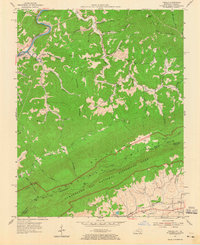
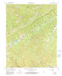
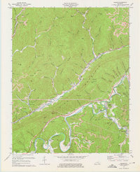
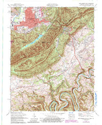
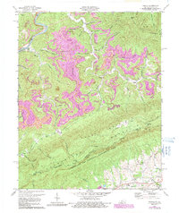
Cumberland Gap National Historical Park anchors the southern boundary of this region, where the ridge and valley landscape of the Log Mtns and Pine Mountain shaped the development of Bell County. The Cumberland River winds through the north, supporting settlements like Wasioto and East Pineville, while the Louisville and Nashville Railroad parallels the river and cuts south through Meldrum toward Middlesboro. This era is defined by the extraction of natural resources, evidenced by several Strip Mines and a Sand Pit near Bear Wallow Gap. Local life centered around institutions such as Wilder High Sch and the County Infirmary, while recreation is noted at Laurel Lakes and the Laurel Cove Amphitheater within Pine Mountain State Park. Numerous small churches and schools, such as Ward Chapel Sch and Harmony Sch, are scattered along the creek branches, marking the rural social centers of the late 1950s.
Find a feature on this map
113 named features on this map. Tap any name to fly to it.
Don’t see what you’re looking for? This feature index may not catch every label — zoom into the map to look around manually.
Map Details
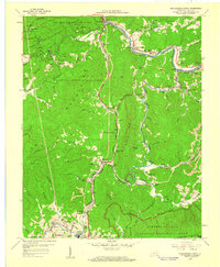
Editions of this 1959 Middlesboro North Map
2 editions found
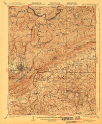
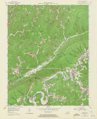
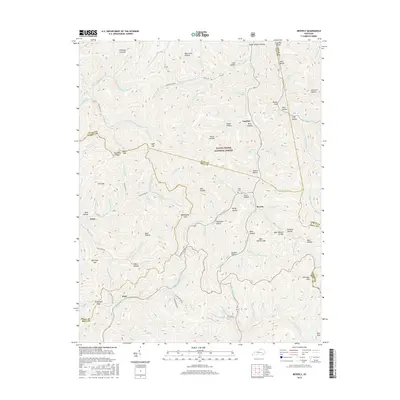
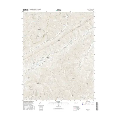
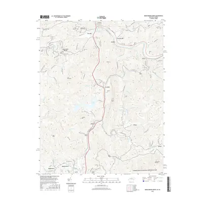
Historical Maps of Pineville Through Time
49 maps found

1903 Middlesboro
Bell County, KY

1927 Middlesboro
Bell County, KY
1930 Middlesboro
Bell County, KY

1935 Varilla
Bell County, KY

1952 Davisburg
Bell County, KY
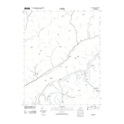
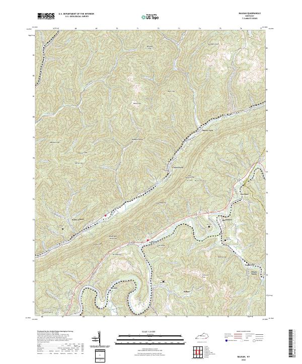
1954 Balkan
Bell County, KY
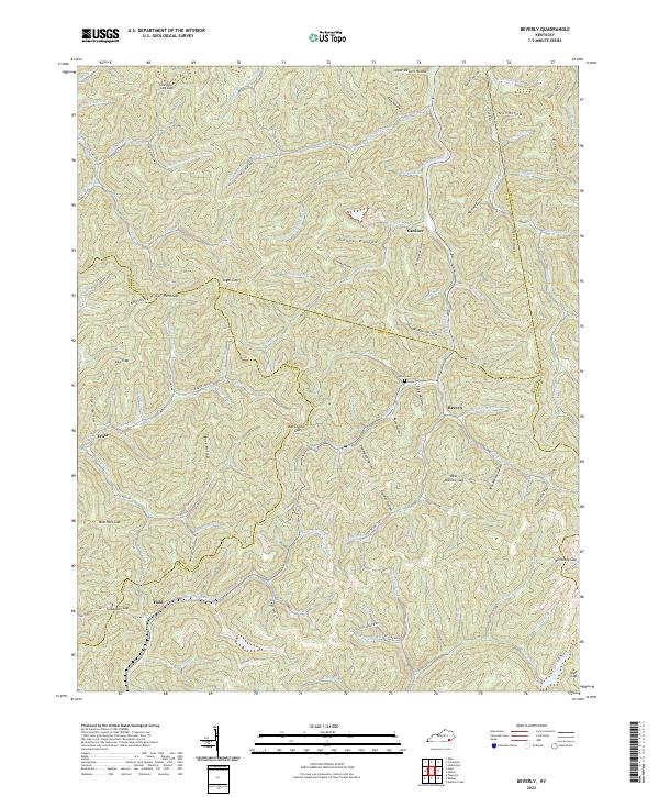
1954 Beverly
Bell County, KY

1954 Middlesboro North
Bell County, KY
1954 Varilla
Bell County, KY
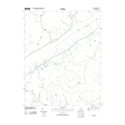
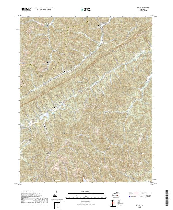
1959 Kayjay
Bell County, KY
1959 Middlesboro North
Bell County, KY
1974 Balkan
Bell County, KY
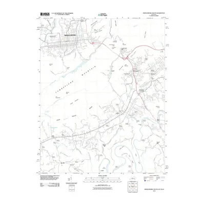
1974 Middlesboro North
Bell County, KY
1974 Middlesboro South
Bell County, KY
1974 Varilla
Bell County, KY
1976 Middlesboro North
Bell County, KY

1976 Middlesboro South
Bell County, KY

1976 Varilla
Bell County, KY

1979 Beverly
Bell County, KY
2010 Balkan
Bell County, KY
2010 Kayjay
Bell County, KY
2010 Middlesboro North
Bell County, KY
2010 Middlesboro South
Bell County, KY
2011 Beverly
Bell County, KY
2011 Varilla
Bell County, KY
2013 Balkan
Bell County, KY
2013 Beverly
Bell County, KY
2013 Kayjay
Bell County, KY
2013 Middlesboro North
Bell County, KY
2013 Middlesboro South
Bell County, KY
2013 Varilla
Bell County, KY
2016 Balkan
Bell County, KY
2016 Beverly
Bell County, KY
2016 Kayjay
Bell County, KY
2016 Middlesboro North
Bell County, KY
2016 Middlesboro South
Bell County, KY
2016 Varilla
Bell County, KY
2019 Balkan
Bell County, KY
2019 Beverly
Bell County, KY
2019 Kayjay
Bell County, KY
2019 Middlesboro North
Bell County, KY
2019 Middlesboro South
Bell County, KY
2019 Varilla
Bell County, KY
2022 Balkan
Bell County, KY
2022 Beverly
Bell County, KY
2022 Kayjay
Bell County, KY
2022 Middlesboro North
Bell County, KY
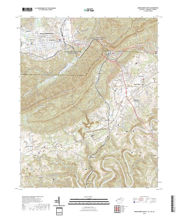
2022 Middlesboro South
Bell County, KY
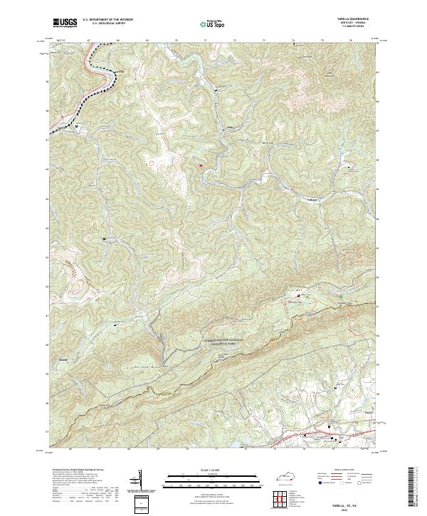
2022 Varilla
Bell County, KY