
1908 Map of Middletown
USGS Topo · Published 1908About this map
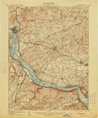
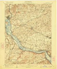
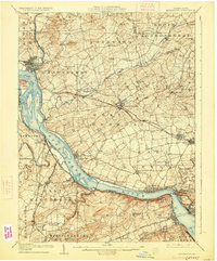
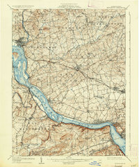
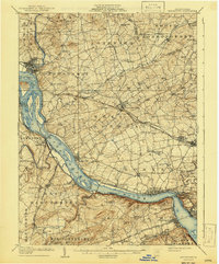
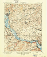
The Susquehanna River dominates this 1908 landscape, serving as a corridor for industry and transport between Dauphin, Lancaster, and York counties. In the north, Middletown and Royalton sit at the confluence of Swatara Creek, while the Pennsylvania RR and the Philadelphia Division track the river's eastern bank through settlements like Falmouth and Bainbridge. This era records a significant transition in infrastructure, noting the Pennsylvania Canal (Abandoned) running parallel to the modernized rail lines.
Find a feature on this map
87 named features on this map. Tap any name to fly to it.
Don’t see what you’re looking for? This feature index may not catch every label — zoom into the map to look around manually.
Map Details
Editions of this 1908 Middletown Map
7 editions found
Other maps of this area

1891 · Lebanon
USGS Topo · 1:62,500

1892 · Hummelstown
USGS Topo · 1:62,500

1892 · Harrisburg
USGS Topo · 1:62,500

1893 · Lebanon
USGS Topo · 1:62,500

1899 · Lebanon
USGS Topo · 1:62,500

1899 · Harrisburg
USGS Topo · 1:62,500

1902 · Lancaster
USGS Topo · 1:62,500

1904 · Lancaster
USGS Topo · 1:62,500

1906 · New Cumberland
USGS Topo · 1:62,500

1908 · York
USGS Topo · 1:62,500