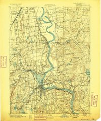
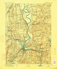
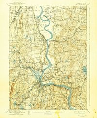
1893 Map of Middletown
USGS Topo · Published 1899About this map
The Connecticut River serves as the central artery for this late 19th-century survey, dividing the landscape between established riverfront towns and the industrializing interior. At the northern edge, Wethersfield and its State Prison sit near the bend of The Cove, while the river winds south past Gildersleeve Island toward the dense settlement of Middletown. The era's heavy reliance on rail transport is evident in the three branches of the New York New Haven and Hartford Railroad, which connect outlying hamlets like Newington Junction and Westfield Station.
Find a feature on this map
79 named features on this map. Tap any name to fly to it.
Don’t see what you’re looking for? This feature index may not catch every label — zoom into the map to look around manually.
Map Details
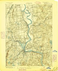
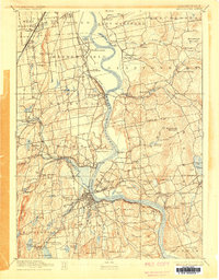
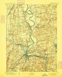
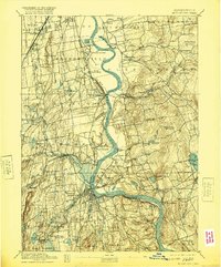
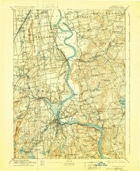
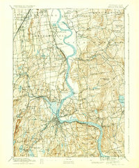
Editions of this 1893 Middletown Map
10 editions found
Other maps of this area

1892 · Hartford
USGS Topo · 1:62,500

1892 · New Haven
USGS Topo · 1:62,500

1892 · Tolland
USGS Topo · 1:62,500

1892 · Meriden
USGS Topo · 1:62,500

1892 · Granby
USGS Topo · 1:62,500

1892 · Gilead
USGS Topo · 1:62,500

1893 · Guilford
USGS Topo · 1:62,500

1893 · Middletown
USGS Topo · 1:62,500

1893 · Meriden
USGS Topo · 1:62,500

1893 · Saybrook
USGS Topo · 1:62,500