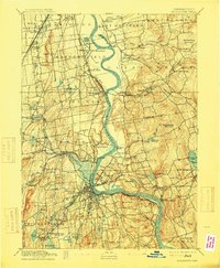
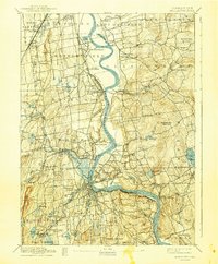
1893 Map of Middletown
USGS Topo · Published 1915About this map
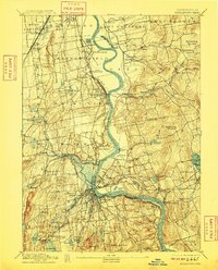
The Connecticut River serves as the central artery for this late 19th-century landscape, winding between the manufacturing centers and agricultural towns of Middlesex and Hartford Counties. In Wethersfield, the prominent State Prison sits near The Cove, while further south, the city of Middletown anchors the riverbend with its dense street grid and South Farms district. The era's heavy reliance on rail is evident in the sprawling network of the New York New Haven and Hartford Railroad, connecting busy hubs like Newington Junction and Westfield Station. East of the river, the terrain rises toward Meshomeasic Mountain and the water-powered industrial hamlets of Addison and Hopewell. This map documents a period of high industrial activity, where river islands like Gildersleeve Island and numerous mountain-fed brooks supported local mills and shipping before modern highway expansion altered these historic town centers.
Find a feature on this map
96 named features on this map. Tap any name to fly to it.
Don’t see what you’re looking for? This feature index may not catch every label — zoom into the map to look around manually.
Map Details
Editions of this 1893 Middletown Map
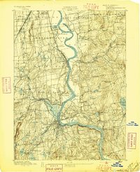
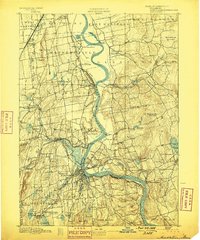
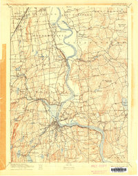
10 editions found
Other maps of this area

1892 · Hartford
USGS Topo · 1:62,500

1892 · New Haven
USGS Topo · 1:62,500

1892 · Tolland
USGS Topo · 1:62,500

1892 · Meriden
USGS Topo · 1:62,500

1892 · Granby
USGS Topo · 1:62,500

1892 · Gilead
USGS Topo · 1:62,500

1893 · Guilford
USGS Topo · 1:62,500

1893 · Middletown
USGS Topo · 1:62,500

1893 · Meriden
USGS Topo · 1:62,500

1893 · Saybrook
USGS Topo · 1:62,500