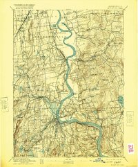
1893 Map of Middletown
USGS Topo · Published 1920About this map
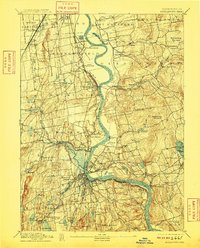
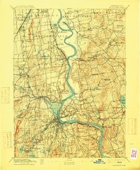
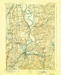
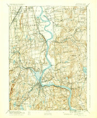
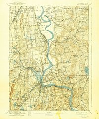
The Connecticut River serves as the central artery of this late 19th-century landscape, carving a deep S-curve that defines the boundaries of Wethersfield, Glastonbury, and Middletown. The river’s importance to regional commerce is evident in the cluster of island landmarks like Gildersleeve Island and the complex rail network of the Middletown Branch New York New Haven and Hartford RR. This survey illustrates the transition from river-dependent hamlets to a rail-connected industrial economy, with dense settlement patterns appearing in Portland and South Farms.
Find a feature on this map
95 named features on this map. Tap any name to fly to it.
Don’t see what you’re looking for? This feature index may not catch every label — zoom into the map to look around manually.
Map Details
Editions of this 1893 Middletown Map
10 editions found
Other maps of this area

1892 · Hartford
USGS Topo · 1:62,500

1892 · New Haven
USGS Topo · 1:62,500

1892 · Tolland
USGS Topo · 1:62,500

1892 · Meriden
USGS Topo · 1:62,500

1892 · Granby
USGS Topo · 1:62,500

1892 · Gilead
USGS Topo · 1:62,500

1893 · Guilford
USGS Topo · 1:62,500

1893 · Middletown
USGS Topo · 1:62,500

1893 · Meriden
USGS Topo · 1:62,500

1893 · Saybrook
USGS Topo · 1:62,500