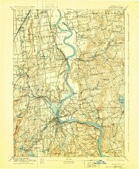
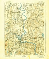
1893 Map of Middletown
USGS Topo · Published 1928About this map
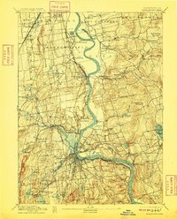
The Connecticut River serves as the central artery for this late nineteenth-century portrait of Central Connecticut, where industrial rail lines and river commerce meet. The New York New Haven and Hartford RR snakes through the valley, connecting established centers like Wethersfield and Middletown while supporting smaller railroad stops such as Westfield Station. In the northern reach, the State Prison sits near The Cove, while to the east, the terrain rises sharply into the highlands of Meshomasic Mountain and Minnechaug Mountain. The landscape is characterized by its numerous water bodies, including the recreationally significant Pocotopaug Lake with its Twin Islands and the smaller, localized Pecausett Pond. Settlements like Gildersleeve, South Farms, and Middle Haddam line the riverbanks, illustrating the nineteenth-century pattern of river-oriented development before modern highway expansion altered the valley's character.
Find a feature on this map
106 named features on this map. Tap any name to fly to it.
Don’t see what you’re looking for? This feature index may not catch every label — zoom into the map to look around manually.
Map Details
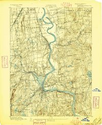
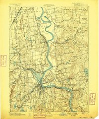
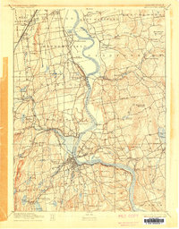
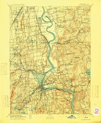
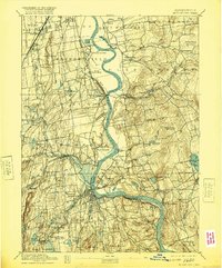
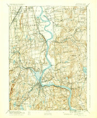
Editions of this 1893 Middletown Map
10 editions found
Other maps of this area

1892 · Hartford
USGS Topo · 1:62,500

1892 · New Haven
USGS Topo · 1:62,500

1892 · Tolland
USGS Topo · 1:62,500

1892 · Meriden
USGS Topo · 1:62,500

1892 · Granby
USGS Topo · 1:62,500

1892 · Gilead
USGS Topo · 1:62,500

1893 · Guilford
USGS Topo · 1:62,500

1893 · Middletown
USGS Topo · 1:62,500

1893 · Meriden
USGS Topo · 1:62,500

1893 · Saybrook
USGS Topo · 1:62,500