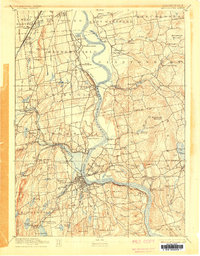
1893 Map of Middletown
USGS Topo · Published 1905About this map
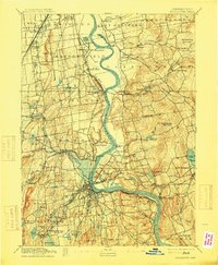
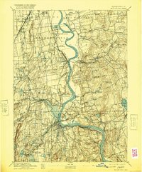
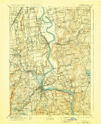
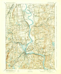
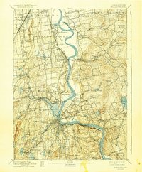
The Connecticut River serves as the central artery of this late nineteenth-century landscape, carving a wide valley between the ridgelines of Meshomasic Mountain and Higby Mountain. The mapping reveals a mature industrial and transport network, dominated by the New York New Haven and Hartford Railroad which connects thriving river towns like Wethersfield, Cromwell, and Portland. A notable landmark of the era is the State Prison situated near The Cove, while the surrounding hillsides are dotted with localized settlements such as Gildersleeve, Addison, and Cobalt. To the east, the terrain becomes more varied around Pocotopaug Lake, reflecting the region's diverse geography from fertile river bottomlands to the wooded heights of Minnehaush Mountain. The intricate detailing of schools, cemeteries, and individual farmstead locations provides a clear view of the Connecticut River Valley before the expansion of twentieth-century suburbanization.
Find a feature on this map
90 named features on this map. Tap any name to fly to it.
Don’t see what you’re looking for? This feature index may not catch every label — zoom into the map to look around manually.
Map Details
Editions of this 1893 Middletown Map
10 editions found
Other maps of this area

1892 · Hartford
USGS Topo · 1:62,500

1892 · New Haven
USGS Topo · 1:62,500

1892 · Tolland
USGS Topo · 1:62,500

1892 · Meriden
USGS Topo · 1:62,500

1892 · Granby
USGS Topo · 1:62,500

1892 · Gilead
USGS Topo · 1:62,500

1893 · Guilford
USGS Topo · 1:62,500

1893 · Middletown
USGS Topo · 1:62,500

1893 · Meriden
USGS Topo · 1:62,500

1893 · Saybrook
USGS Topo · 1:62,500