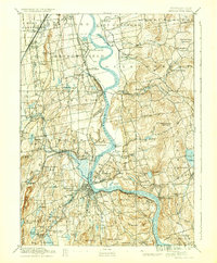
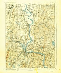
1893 Map of Middletown
USGS Topo · Published 1936About this map
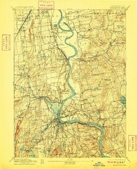
The Connecticut River dominates this nineteenth-century landscape, winding between steep ridges and the industrializing towns of Hartford and Middlesex counties. Along the western bank, the State Prison stands in Wethersfield, while the established settlements of Rocky Hill and Cromwell serve as critical points along the waterway. The region's transport network is defined by multiple branches of the New York New Haven and Hartford RR, including the Valley Division and the Air Line Division, which cut through the complex topography near Middletown. To the east, the terrain rises into prominent elevations like Meshomasic Mountain and Minnechaug Mountain, punctuated by recreational and water-supply features such as Pocotopaug Lake and the Portland Reservoir. The map illustrates a transitional period where river commerce was meeting the rising influence of rail infrastructure.
Find a feature on this map
100 named features on this map. Tap any name to fly to it.
Don’t see what you’re looking for? This feature index may not catch every label — zoom into the map to look around manually.
Map Details
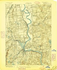
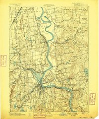
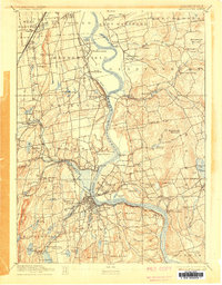
Editions of this 1893 Middletown Map
10 editions found
Other maps of this area

1892 · Hartford
USGS Topo · 1:62,500

1892 · New Haven
USGS Topo · 1:62,500

1892 · Tolland
USGS Topo · 1:62,500

1892 · Meriden
USGS Topo · 1:62,500

1892 · Granby
USGS Topo · 1:62,500

1892 · Gilead
USGS Topo · 1:62,500

1893 · Guilford
USGS Topo · 1:62,500

1893 · Middletown
USGS Topo · 1:62,500

1893 · Meriden
USGS Topo · 1:62,500

1893 · Saybrook
USGS Topo · 1:62,500