
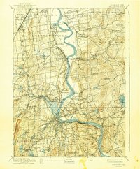
1893 Map of Middletown
USGS Topo · Published 1893About this map
The Connecticut River dictates the landscape of this late nineteenth-century corridor, winding through a dense network of river towns and industrial rail lines. The Valley Division New York New Haven and Hartford Railroad hugs the western bank, connecting Middletown to northern hubs while the Air Line Division New York New Haven and Hartford Railroad strikes east across the hills. At Wethersfield, the presence of the State Prison near The Cove marks a significant institutional landmark of the era.
Find a feature on this map
84 named features on this map. Tap any name to fly to it.
Don’t see what you’re looking for? This feature index may not catch every label — zoom into the map to look around manually.
Map Details
Editions of this 1893 Middletown Map
10 editions found
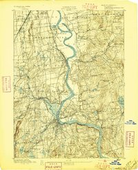
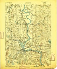
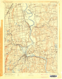
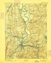
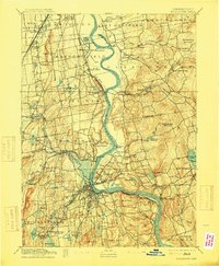
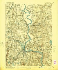
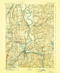
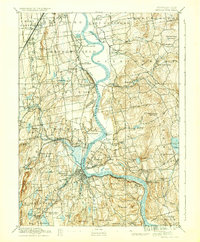
Other maps of this area

1892 · Hartford
USGS Topo · 1:62,500

1892 · New Haven
USGS Topo · 1:62,500

1892 · Tolland
USGS Topo · 1:62,500

1892 · Meriden
USGS Topo · 1:62,500

1892 · Granby
USGS Topo · 1:62,500

1892 · Gilead
USGS Topo · 1:62,500

1893 · Guilford
USGS Topo · 1:62,500

1893 · Meriden
USGS Topo · 1:62,500

1893 · Saybrook
USGS Topo · 1:62,500

1906 · Farmington
USGS Topo · 1:125,000