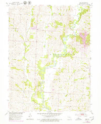
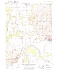
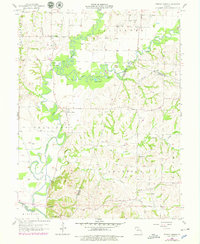
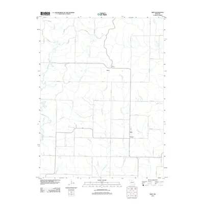
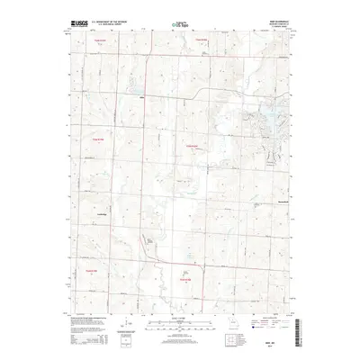
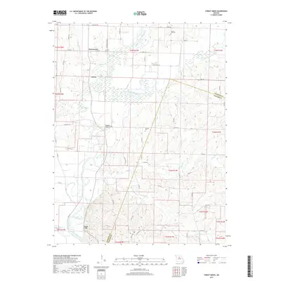
1953 Map of Mike
USGS Topo · Published 1979About this map
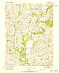
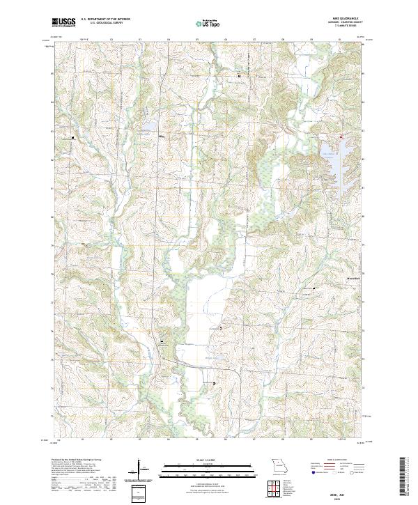
The winding Mussel Fork and its labyrinth of oxbows dominate this mid-century look at central Chariton County. The landscape is defined by the intersection of numerous watercourses, including Yellow Creek, Long Branch, and Clarks Creek, which carve through the rural terrain of Keytesville township. Small, localized centers of community life like Mike, Pat, and Musselfork anchor the area, supported by a network of country schools and houses of worship.
Find a feature on this map
22 named features on this map. Tap any name to fly to it.
Don’t see what you’re looking for? This feature index may not catch every label — zoom into the map to look around manually.
Map Details
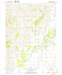
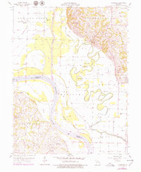
Editions of this 1953 Mike Map
2 editions found
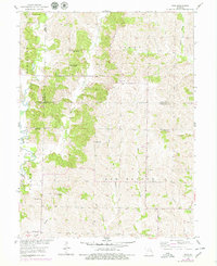
Historical Maps of Musselfork Through Time
41 maps found
1949 Indian Grove
Chariton County, MO
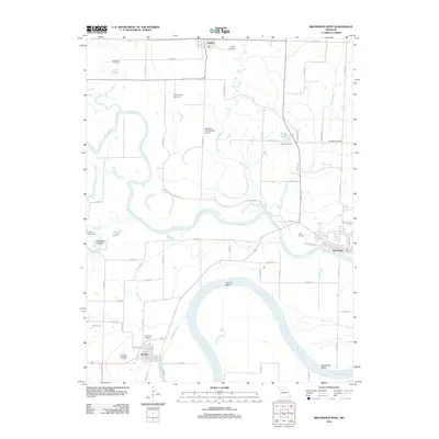
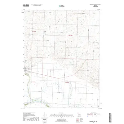
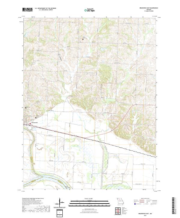
1951 Brunswick East
Chariton County, MO
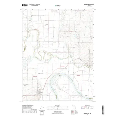
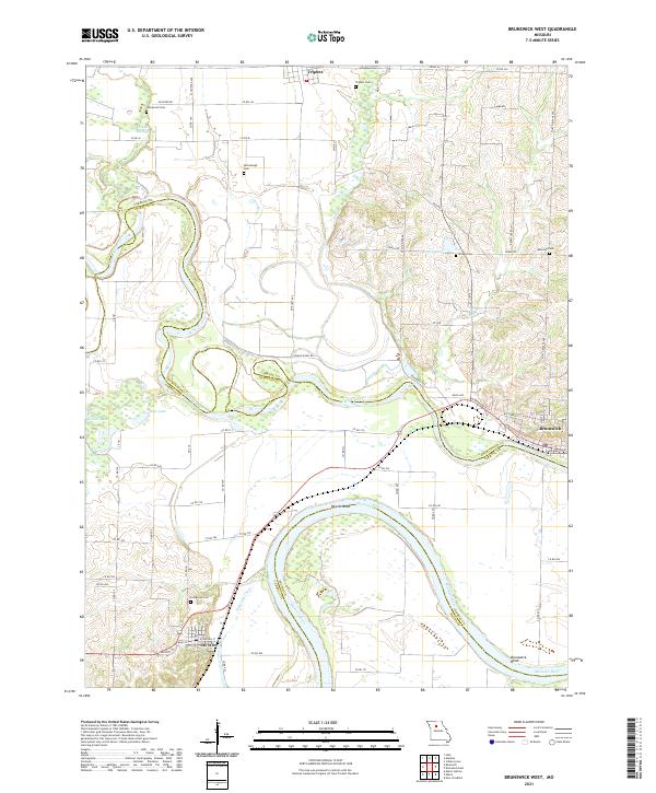
1951 Brunswick West
Chariton County, MO
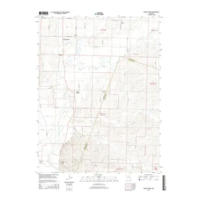
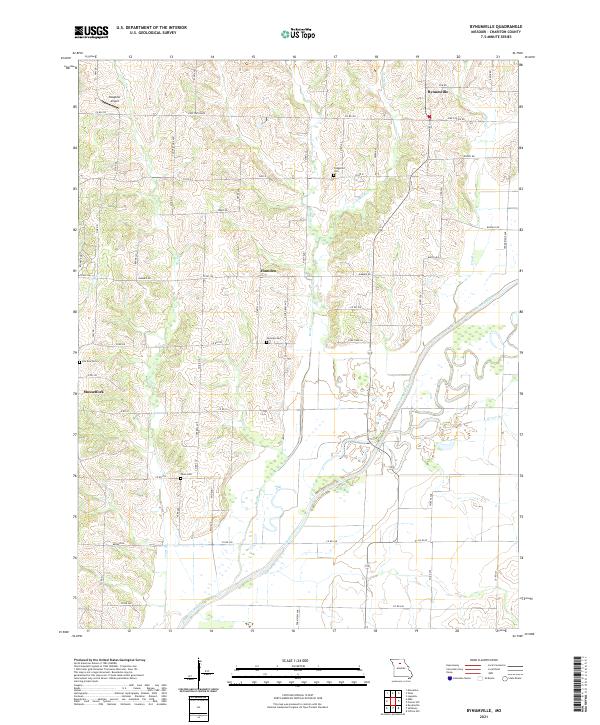
1953 Bynumville
Chariton County, MO
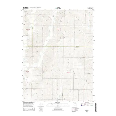
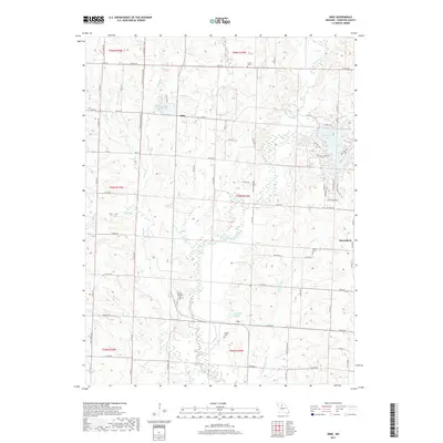
1953 Mike
Chariton County, MO
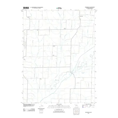
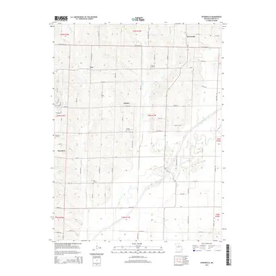
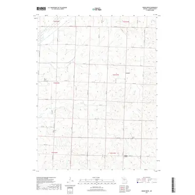
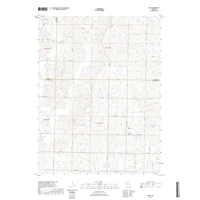
1953 Wien
Chariton County, MO
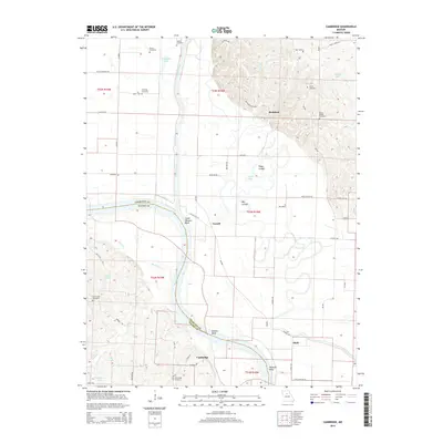
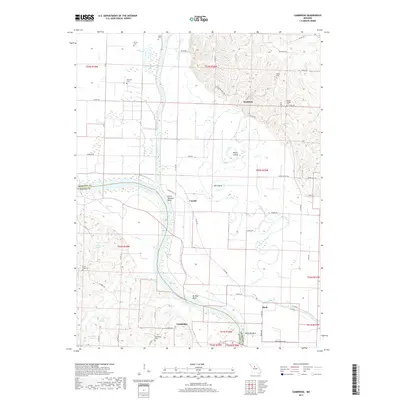
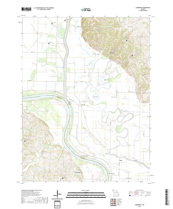
1956 Cambridge
Chariton County, MO
1956 Forest Green
Chariton County, MO
2012 Brunswick East
Chariton County, MO
2012 Brunswick West
Chariton County, MO
2012 Bynumville
Chariton County, MO
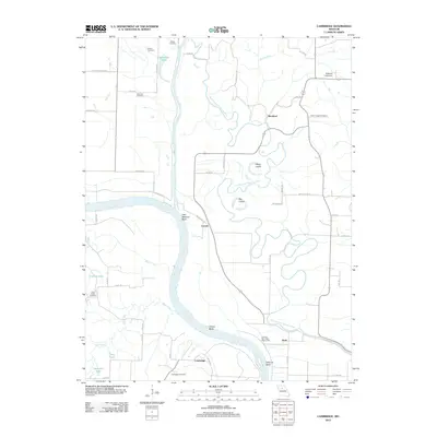
2012 Cambridge
Chariton County, MO
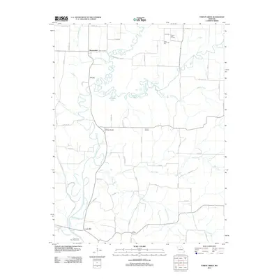
2012 Forest Green
Chariton County, MO
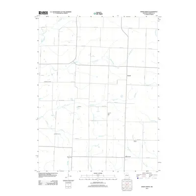
2012 Indian Grove
Chariton County, MO
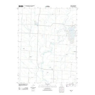
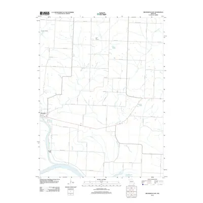
2012 Mike
Chariton County, MO
2012 Wien
Chariton County, MO
2014 Bynumville
Chariton County, MO
2014 Cambridge
Chariton County, MO
2014 Forest Green
Chariton County, MO
2014 Mike
Chariton County, MO
2014 Wien
Chariton County, MO

2015 Brunswick East
Chariton County, MO
2015 Brunswick West
Chariton County, MO
2015 Indian Grove
Chariton County, MO
2017 Brunswick East
Chariton County, MO
2017 Brunswick West
Chariton County, MO
2017 Bynumville
Chariton County, MO
2017 Cambridge
Chariton County, MO
2017 Forest Green
Chariton County, MO
2017 Indian Grove
Chariton County, MO
2017 Mike
Chariton County, MO
2017 Wien
Chariton County, MO
2021 Brunswick East
Chariton County, MO
2021 Brunswick West
Chariton County, MO
2021 Bynumville
Chariton County, MO
2021 Cambridge
Chariton County, MO
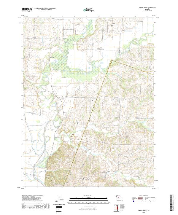
2021 Forest Green
Chariton County, MO
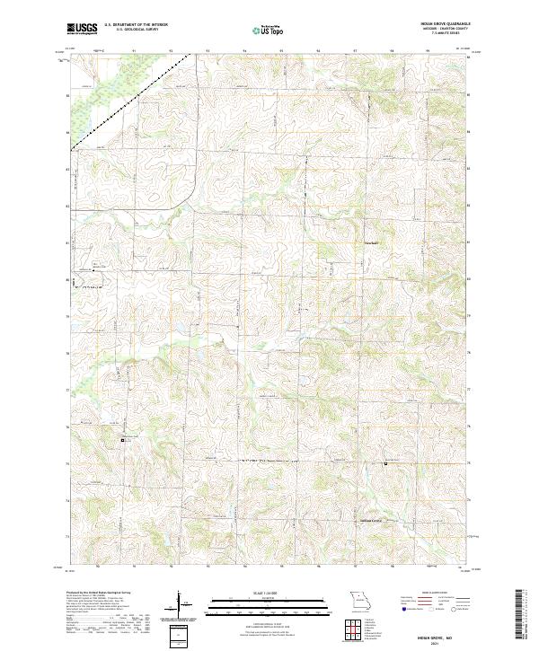
2021 Indian Grove
Chariton County, MO
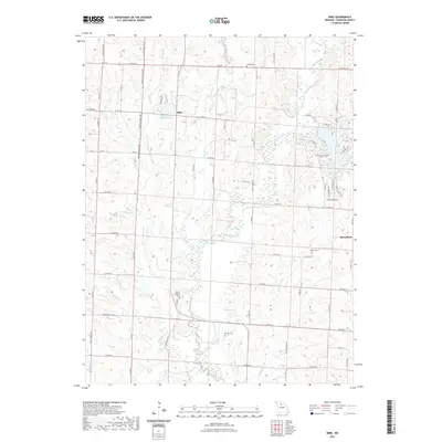
2021 Mike
Chariton County, MO
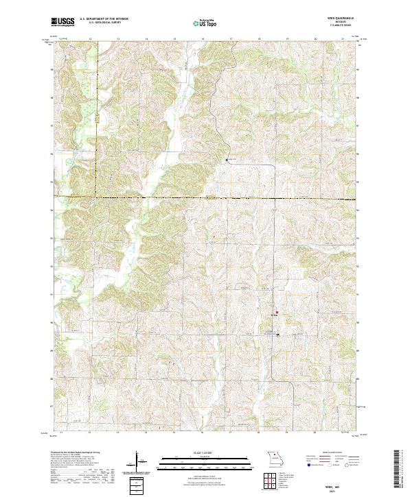
2021 Wien
Chariton County, MO
2023 Mike
Chariton County, MO