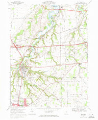
1969 Map of Milan
USGS Topo · Published 1971About this map
The Huron River winds through the heart of north-central Ohio, carving a deep, wooded valley that separates the townships of Milan and Berlin. By the late 1960s, this area retained a distinctly agrarian character even as the Ohio Turnpike and several major pipelines sliced across the landscape. The village of Milan sits at a strategic bend in the river, surrounded by numerous small sand and gravel operations, including several sandpits to the east.
Find a feature on this map
63 named features on this map. Tap any name to fly to it.
Don’t see what you’re looking for? This feature index may not catch every label — zoom into the map to look around manually.
Map Details
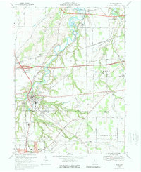
Editions of this 1969 Milan Map
2 editions found
Other maps of this area

1903 · Vermilion
USGS Topo · 1:62,500

1904 · Sandusky
USGS Topo · 1:62,500

1908 · New London
USGS Topo · 1:62,500

1915 · Norwalk
USGS Topo · 1:62,500

1944 · Norwalk
USGS Topo · 1:62,500

1956 · Toledo
USGS Topo · 1:250,000

1959 · Kimball
USGS Topo · 1:24,000

1959 · Milan
USGS Topo · 1:24,000

1959 · Sandusky
USGS Topo · 1:24,000

1959 · Berlin Heights
USGS Topo · 1:24,000