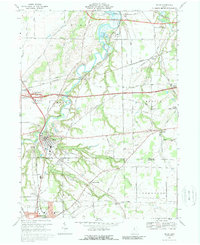
1969 Map of Milan
USGS Topo · Published 1989About this map
The Huron River carves a winding path through this northern Ohio landscape, shaping the development of Milan and the surrounding agricultural townships. By the late 1960s, the region shows a dense network of transit and infrastructure, where the Ohio Turnpike and Norfolk and Western tracks bisect established farmsteads. Local history is anchored by several small rural centers such as Avery, Berlinville, and East Norwalk, while the north edge of Norwalk begins to push into the township. For genealogists and researchers, the map identifies specific community landmarks including Scotts Cem, Township Cem, and Friends Ch. The presence of the Homestead Inn Landing Field and numerous sandpits and gravel pits reflects the era's local industry and transition toward specialized land use alongside traditional northern Erie and Huron County settlement patterns.
Find a feature on this map
61 named features on this map. Tap any name to fly to it.
Don’t see what you’re looking for? This feature index may not catch every label — zoom into the map to look around manually.
Map Details
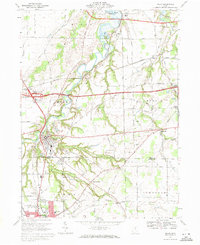
Editions of this 1969 Milan Map
2 editions found
Other maps of this area

1903 · Vermilion
USGS Topo · 1:62,500

1904 · Sandusky
USGS Topo · 1:62,500

1908 · New London
USGS Topo · 1:62,500

1915 · Norwalk
USGS Topo · 1:62,500

1944 · Norwalk
USGS Topo · 1:62,500

1956 · Toledo
USGS Topo · 1:250,000

1959 · Kimball
USGS Topo · 1:24,000

1959 · Milan
USGS Topo · 1:24,000

1959 · Sandusky
USGS Topo · 1:24,000

1959 · Berlin Heights
USGS Topo · 1:24,000