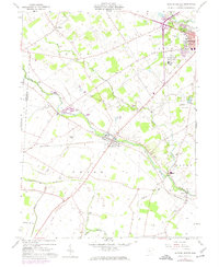
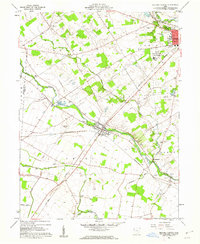
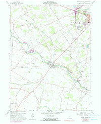
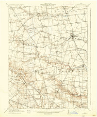
1961 Map of Milford Center
USGS Topo · Published 1974About this map
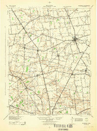
Milford Center and the surrounding agricultural landscape of Union County are captured here in a period of transition during the early 1960s. The village of Marysville occupies the northeastern corner, distinguished by the sprawling State Reformatory for Women and the Marysville Country Club Golf Course. The topography is defined by the convergence of Big Darby Creek and Little Darby Creek, with several smaller tributaries like Treacle Creek and Buck Run cutting through the farmland.
Find a feature on this map
37 named features on this map. Tap any name to fly to it.
Don’t see what you’re looking for? This feature index may not catch every label — zoom into the map to look around manually.
Map Details
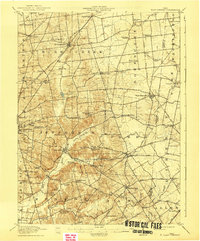
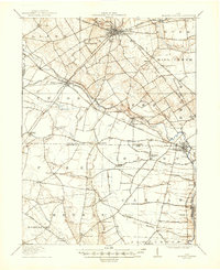
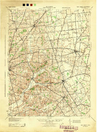
Editions of this 1961 Milford Center Map
Other maps of this area

1913 · East Liberty
USGS Topo · 1:62,500
1913 · Richwood
USGS Topo · 1:62,500

1914 · Mechanicsburg
USGS Topo · 1:62,500
1915 · Richwood
USGS Topo · 1:62,500
1915 · East Liberty
USGS Topo · 1:62,500

1916 · Mechanicsburg
USGS Topo · 1:62,500
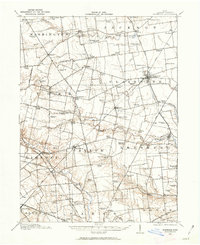
1916 · Milford Center
USGS Topo · 1:62,500
1944 · East Liberty
USGS Topo · 1:62,500

1944 · Mechanicsburg
USGS Topo · 1:62,500
1944 · Richwood
USGS Topo · 1:62,500
Featured Places
- Marysville, OH
- Milford Center, Union Township
- Darby Township, OH
- Bridgeport, Darby Township
- Paris Township, OH