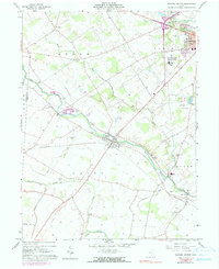
1961 Map of Milford Center
USGS Topo · Published 1990About this map
Milford Center sits at the heart of this Central Ohio landscape where Big Darby Creek and Buck Run converge. The village serves as a hub for the surrounding agricultural townships, connected by the Penn Central railroad corridors that cross the plains. To the north, the sprawling campus of the State Reformatory for Women stands as a significant regional landmark, while the southern reaches of the map show a more rural character defined by watercourses like Treacle Creek and Little Darby Cr.
Find a feature on this map
35 named features on this map. Tap any name to fly to it.
Don’t see what you’re looking for? This feature index may not catch every label — zoom into the map to look around manually.
Map Details
Editions of this 1961 Milford Center Map
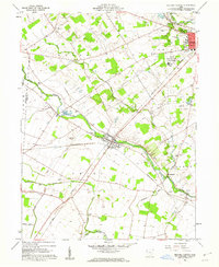
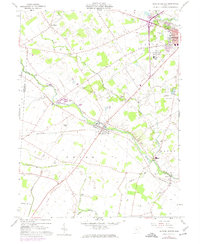
Other maps of this area

1913 · East Liberty
USGS Topo · 1:62,500

1913 · Richwood
USGS Topo · 1:62,500

1914 · Mechanicsburg
USGS Topo · 1:62,500

1915 · Richwood
USGS Topo · 1:62,500

1915 · East Liberty
USGS Topo · 1:62,500

1916 · Mechanicsburg
USGS Topo · 1:62,500

1916 · Milford Center
USGS Topo · 1:62,500

1944 · East Liberty
USGS Topo · 1:62,500

1944 · Mechanicsburg
USGS Topo · 1:62,500

1944 · Richwood
USGS Topo · 1:62,500