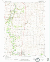
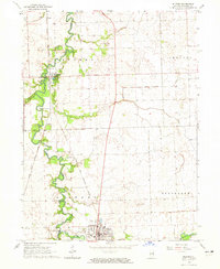
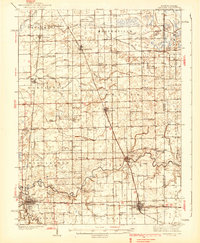
1964 Map of Milford
USGS Topo · Published 1965About this map
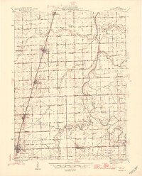
Sugar Creek winds through the heart of this Iroquois County landscape, defining the layout of rural Milford and its surrounding townships in the mid-1960s. The Chicago and Eastern Illinois railroad serves as the primary industrial spine, linking the settlements of Coaler, Woodland, and Woodland Junction. The presence of several small burial grounds, including Belmont Cem, Body Cem, and Vennum Cem, offers a detailed map for genealogists tracing early families in the area. The map also documents local aviation and infrastructure through the Newman Landing Strip, the Milford Airport, and a Gaging Station located along the creek. Fine red dashed lines throughout the quadrangle provide a unique record of contemporary fence and field boundaries across the agricultural terrain of Stockland and Sheldon townships.
Find a feature on this map
23 named features on this map. Tap any name to fly to it.
Don’t see what you’re looking for? This feature index may not catch every label — zoom into the map to look around manually.
Map Details
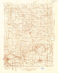
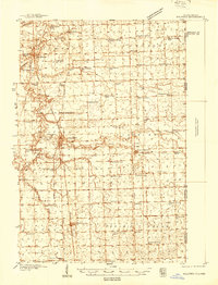
Editions of this 1964 Milford Map
2 editions found
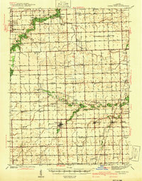
Other maps of this area
1935 · Watseka
USGS Topo · 1:48,000
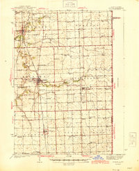
1938 · Milford
USGS Topo · 1:48,000
1939 · Watseka
USGS Topo · 1:62,500
1939 · Cissna Park
USGS Topo · 1:62,500
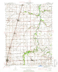
1944 · Milford
USGS Topo · 1:62,500
1944 · Gilman
USGS Topo · 1:62,500
1946 · Gilman
USGS Topo · 1:62,500
1949 · Cissna Park
USGS Topo · 1:62,500

1953 · Danville
USGS Topo · 1:250,000

1955 · Danville
USGS Topo · 1:250,000