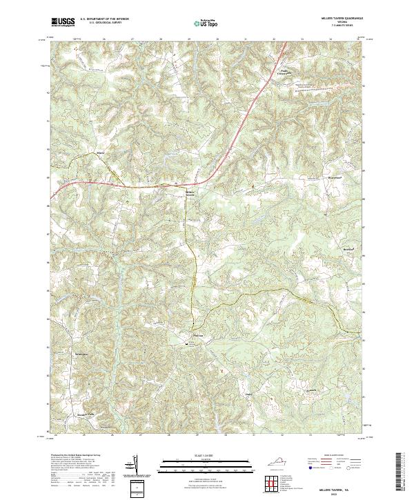
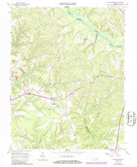
2022 Map of Millers Tavern
USGS Topo · Published 2022About this map
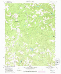
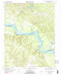
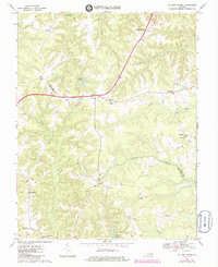
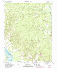
The boundary between Essex and King and Queen counties is defined by the winding course of Dragon Run and the broader Dragon Swamp. This modern landscape is characterized by a series of crossroads settlements and family-named landmarks that have persisted through centuries of rural Virginia history. At the center, Millers Tavern serves as a primary junction, while other small hamlets like Powcan, Bruington, and Pauls Crossroads dot the high ground between the numerous wetlands. The topography is defined by significant swamp systems including Exol Swamp, Dickeys Swamp, and Mussel Swamp, which drain the low-lying terrain. Local genealogy is anchored by the Smyrna Christian Church Cem and historical features such as Wrights Millpond. In the northeast, the Tappahannock/Essex County Airport represents more recent development amidst the traditional network of roads like Lumber Ln and Dunbrooke Rd.
Find a feature on this map
75 named features on this map. Tap any name to fly to it.
Don’t see what you’re looking for? This feature index may not catch every label — zoom into the map to look around manually.
Map Details
Editions of this 2022 Millers Tavern Map
This is the sole edition of this map. No revisions or reprints were ever made.
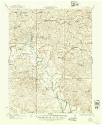
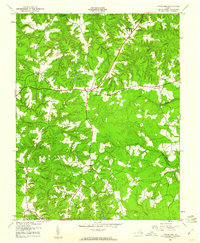
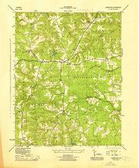
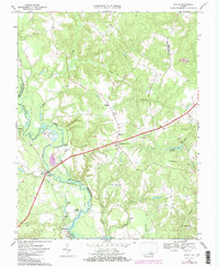
Historical Maps of Minor Through Time
22 maps found

1918 Aylett
King and Queen County, VA
1933 Aylett
King and Queen County, VA
1944 Howertons
King and Queen County, VA
1945 Howertons
King and Queen County, VA
1949 Aylett
King and Queen County, VA

1949 King And Queen
King and Queen County, VA

1949 Shacklefords
King and Queen County, VA

1949 Truhart
King and Queen County, VA
1951 Cauthornville
King and Queen County, VA
1965 Shacklefords
King and Queen County, VA
1968 Aylett
King and Queen County, VA
1968 Cauthornville
King and Queen County, VA
1968 King And Queen Court House
King and Queen County, VA
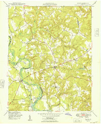
1968 Millers Tavern
King and Queen County, VA
1968 Truhart
King and Queen County, VA
1970 Truhart
King and Queen County, VA
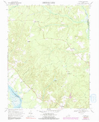
2022 Aylett
King and Queen County, VA
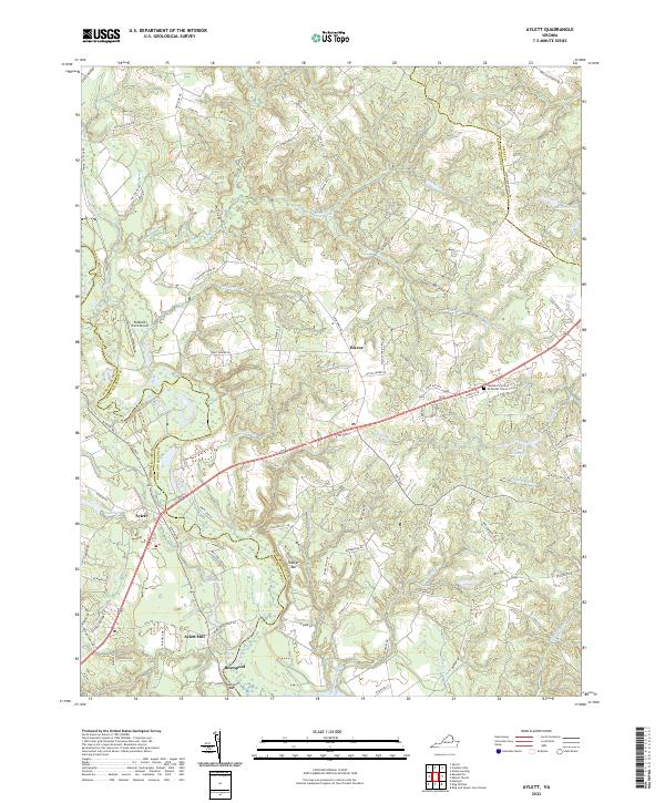
2022 Cauthornville
King and Queen County, VA
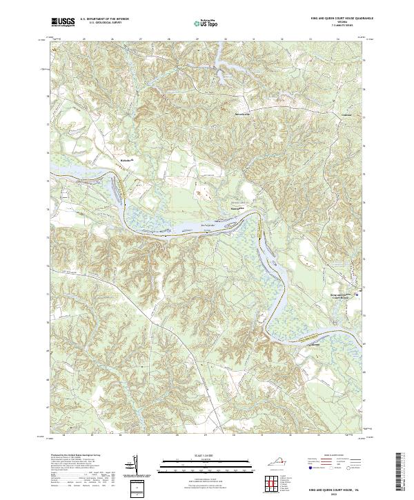
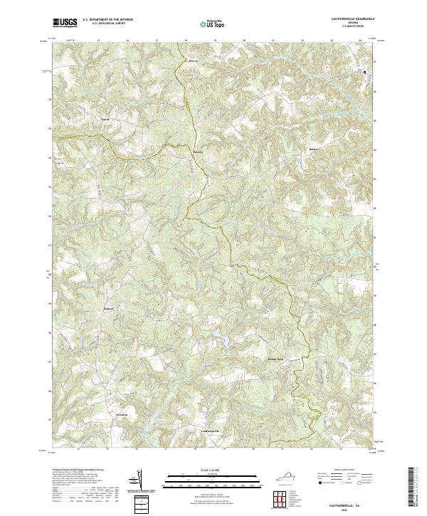
2022 King And Queen Court House
King and Queen County, VA
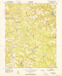
2022 Millers Tavern
King and Queen County, VA
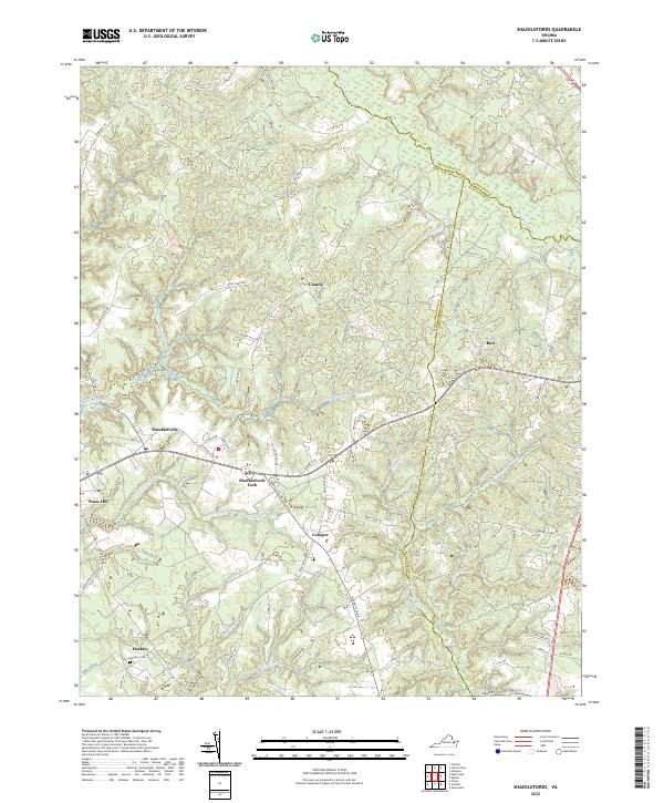
2022 Shacklefords
King and Queen County, VA
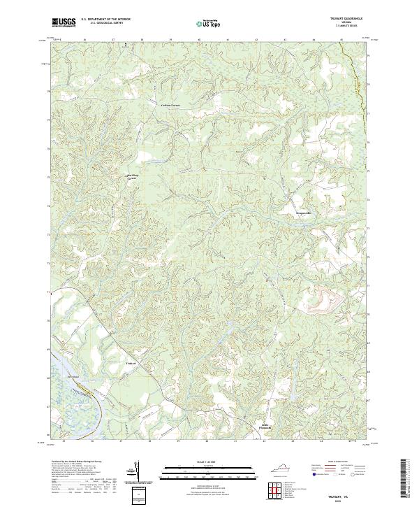
2022 Truhart
King and Queen County, VA