
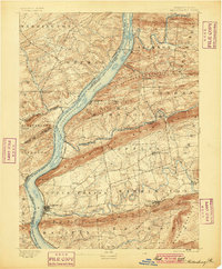
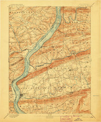
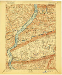
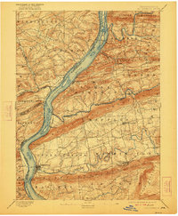
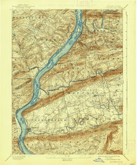
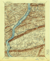
1893 Map of Millersburg
USGS Topo · Published 1893About this map
The Susquehanna River serves as the central artery for this late nineteenth-century landscape, where the Pennsylvania Canal still hugs the western bank near Liverpool. Industrial and transportation patterns are clearly defined by the parallel movement of water and rail, with the Northern Central R. R. following the river corridor while the Summit Branch R. R. cuts inland toward Elizabethville. This area is characterized by dramatic ridges like Berry Mountain and Mahantango Mountain that channel settlement into narrow valleys.
Find a feature on this map
60 named features on this map. Tap any name to fly to it.
Don’t see what you’re looking for? This feature index may not catch every label — zoom into the map to look around manually.
Map Details
Editions of this 1893 Millersburg Map
7 editions found
Other maps of this area

1892 · Lykens
USGS Topo · 1:62,500

1892 · Hummelstown
USGS Topo · 1:62,500

1892 · Shamokin
USGS Topo · 1:62,500

1892 · Harrisburg
USGS Topo · 1:62,500

1893 · Sunbury
USGS Topo · 1:62,500

1893 · Lykens
USGS Topo · 1:62,500

1893 · Shamokin
USGS Topo · 1:62,500

1899 · Harrisburg
USGS Topo · 1:62,500

1907 · New Bloomfield
USGS Topo · 1:62,500

1907 · Millerstown
USGS Topo · 1:62,500
Featured Places
- Chapman, Port Trevorton
- Elizabethville, PA
- Wiconisco Township, PA
- Herndon, PA
- Berrysburg, Mifflin Township