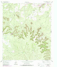
1962 Map of Millican Mountains
USGS Topo · Published 1987About this map
Millican Mountains and the surrounding rangeland of Coke County are documented here through a combination of early 1960s photogrammetry and mid-1980s updates. The landscape is defined by its drainage systems and water infrastructure, essential for ranching in this arid Texas environment. Numerous named landmarks such as the Schooler Windmill, Halley Windmill, and Bull-Pasture Windmill point to the historic reliance on groundwater.
Find a feature on this map
31 named features on this map. Tap any name to fly to it.
Don’t see what you’re looking for? This feature index may not catch every label — zoom into the map to look around manually.
Map Details
Editions of this 1962 Millican Mountains Map
2 editions found
Other maps of this area

1891 · Hayrick
USGS Topo · 1:125,000

1894 · Hayrick
USGS Topo · 1:125,000

1954 · San Angelo
USGS Topo · 1:250,000

1957 · Carlsbad
USGS Topo · 1:62,500

1957 · Harriet
USGS Topo · 1:62,500

1958 · San Angelo
USGS Topo · 1:250,000

1962 · Edith
USGS Topo · 1:24,000
1962 · Cement Mountain
USGS Topo · 1:24,000
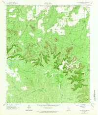
1962 · Millican Mountains
USGS Topo · 1:24,000

1962 · Green Mountain
USGS Topo · 1:24,000