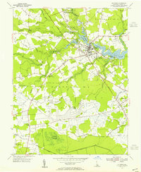
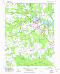
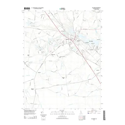
1954 Map of Millsboro
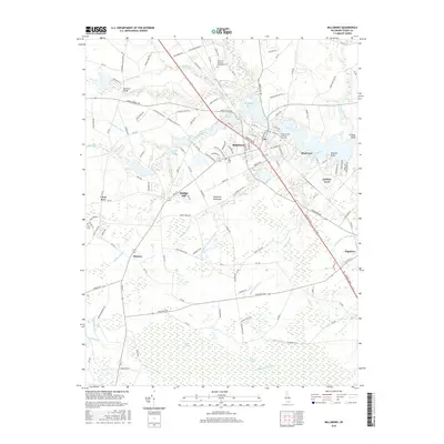
USGS Topo · Published 1955About this map
Millsboro and Dagsboro anchor this mid-century portrait of Sussex County, where the transition from tidal waters to interior wetlands is marked by an extensive network of drainage infrastructure. The Indian River headwaters and Millsboro Pond define the eastern edge, while the interior is dominated by named ditches like Horse Pound Ditch and Phillips Ditch that transformed the landscape for agricultural use.
Find a feature on this map
49 named features on this map. Tap any name to fly to it.
Don’t see what you’re looking for? This feature index may not catch every label — zoom into the map to look around manually.
Map Details
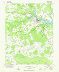
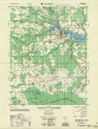
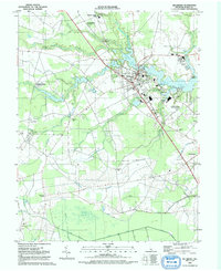
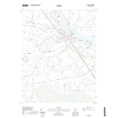
Editions of this 1954 Millsboro Map
3 editions found
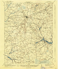
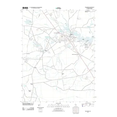
Historical Maps of Millsboro Through Time
11 maps found
1917 Millsboro
Sussex County, DE

1938 Millsboro
Sussex County, DE
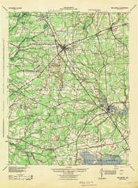
1944 Millsboro
Sussex County, DE
1954 Millsboro
Sussex County, DE
1955 Millsboro
Sussex County, DE
1992 Millsboro
Sussex County, DE
2011 Millsboro
Sussex County, DE
2014 Millsboro
Sussex County, DE
2016 Millsboro
Sussex County, DE
2019 Millsboro
Sussex County, DE
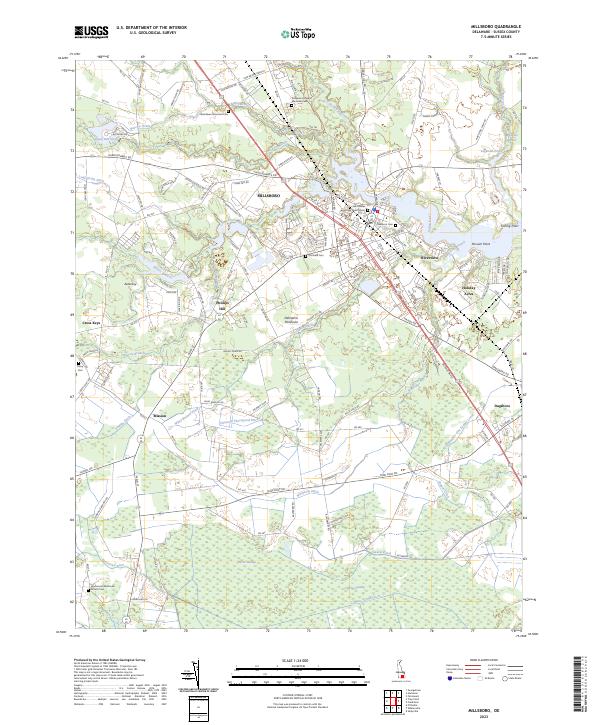
2023 Millsboro
Sussex County, DE