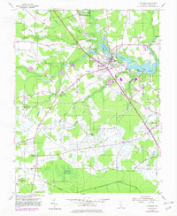
1954 Map of Millsboro
USGS Topo · Published 1982About this map
The Indian River and its headwaters define the character of this Sussex County landscape, where the town of Millsboro serves as the focal point for regional transport and water power. At the head of the river, Millsboro Pond is fed by Betts Pond and Bark Pond, illustrating a reliance on the millpond system for local industry. The map captures the corridor of the Dupont Highway and the Conrail line as they bisect the county, passing through rural settlements like Dagsboro and Phillips Hill. To the south, the terrain transitions into the dense, ditch-drained reaches of Burnt Swamp and Cypress Swamp. Notable landmarks such as the State Training School and several community hubs like Old Field Ch and Westwood Ch provide specific points of interest for those researching local family history or land-use patterns in mid-century Delaware.
Find a feature on this map
40 named features on this map. Tap any name to fly to it.
Don’t see what you’re looking for? This feature index may not catch every label — zoom into the map to look around manually.
Map Details
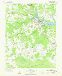
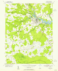
Editions of this 1954 Millsboro Map
3 editions found
Other maps of this area

1901 · Ocean City
USGS Topo · 1:62,500

1902 · Pittsville
USGS Topo · 1:62,500

1917 · Millsboro
USGS Topo · 1:62,500

1918 · Rehoboth
USGS Topo · 1:62,500

1938 · Millsboro
USGS Topo · 1:62,500

1938 · Rehoboth
USGS Topo · 1:62,500

1942 · Ocean City
USGS Topo · 1:62,500

1942 · Whaleysville
USGS Topo · 1:24,000

1942 · Pittsville
USGS Topo · 1:24,000

1943 · Selbyville
USGS Topo · 1:31,680