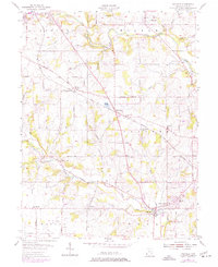
1955 Map of Millville
USGS Topo · Published 1977About this map
Four Mile Creek and its many tributaries, including Lick Run and Darrs Run, carve a network of valleys through this rural Butler County landscape. The settlement of Millville sits at a crossroads in the south, while smaller communities like McGonigle and Woods Station punctuate the route of the Baltimore and Ohio railroad. This survey reflects a mid-century period of transition, evidenced by the development of Queen Acres and the presence of recreational features like Holiday Lake and Island Pond. For genealogists and local researchers, the map is a detailed record of civil and social infrastructure, from the rural Hanover School to numerous burial grounds such as Flankenstein Cemetery, Bethel Cemetery, and Milford Cemetery. The landscape is further defined by historic boundaries like the Reily and Hanover township lines, which organize the agricultural patchwork of the era.
Find a feature on this map
47 named features on this map. Tap any name to fly to it.
Don’t see what you’re looking for? This feature index may not catch every label — zoom into the map to look around manually.
Map Details
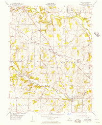
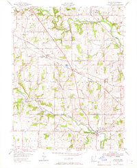
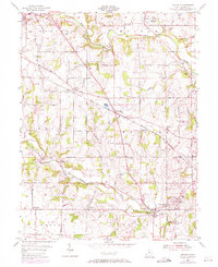
Editions of this 1955 Millville Map
4 editions found
Other maps of this area

1911 · Oxford
USGS Topo · 1:62,500

1915 · College Corner
USGS Topo · 1:48,000

1915 · Harrison
USGS Topo · 1:48,000

1915 · Hamilton
USGS Topo · 1:62,500

1917 · Hamilton
USGS Topo · 1:62,500

1918 · College Corner
USGS Topo · 1:62,500

1953 · Cincinnati
USGS Topo · 1:250,000

1955 · Harrison
USGS Topo · 1:24,000

1955 · Hamilton
USGS Topo · 1:24,000

1955 · Reily
USGS Topo · 1:24,000