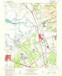
1961 Map of Milpitas
USGS Topo · Published 1962About this map
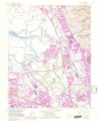
Salt Evaporators dominate the marshy landscape of the South Bay in this early 1960s study, where the waters of Alviso Slough and Mud Slough meet the Coyote Creek delta. This era captures the Santa Clara Valley in a state of rapid industrial transition, most notably marked by the massive Automobile Assembly Plant near the Southern Pacific tracks and the sprawling campus of Agnews State Hospital. Small settlements like Alviso and the remote rail station at Drawbridge contrast with the burgeoning residential and municipal core of Milpitas, where City Hall stands near the intersection of the Nimitz Freeway and Calaveras Road. The map provides a detailed view of local education and social infrastructure, featuring sites like the Samuel Ayer High Sch and the Elmwood Rehabilitation Center during a period of significant suburban expansion.
Find a feature on this map
70 named features on this map. Tap any name to fly to it.
Don’t see what you’re looking for? This feature index may not catch every label — zoom into the map to look around manually.
Map Details
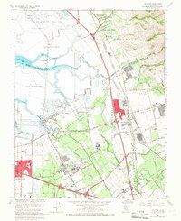
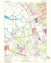
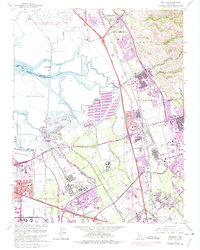
Editions of this 1961 Milpitas Map
7 editions found
Other maps of this area

1889 · San Jose
USGS Topo · 1:62,500

1897 · San Jose
USGS Topo · 1:62,500

1897 · Palo Alto
USGS Topo · 1:62,500

1899 · San Jose
USGS Topo · 1:62,500

1899 · Palo Alto
USGS Topo · 1:62,500

1899 · Haywards
USGS Topo · 1:62,500

1902 · Santa Cruz
USGS Topo · 1:125,000

1906 · Pleasanton
USGS Topo · 1:62,500

1915 · Haywards
USGS Topo · 1:62,500

1941 · Pleasanton
USGS Topo · 1:62,500