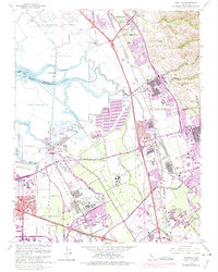
1961 Map of Milpitas
USGS Topo · Published 1975About this map
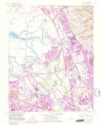
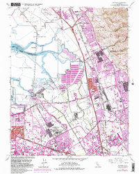
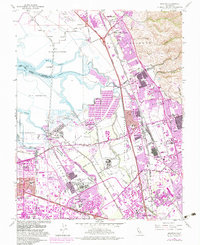
Salt Evaporators and the complex tidal network of Mud Slough and Coyote Creek dominate this landscape at the southern tip of the San Francisco Bay. The transition from industrial salt production to mid-century urban expansion is evident in the purple-shaded growth around Milpitas and San Jose. Significant institutional landmarks include the expansive grounds of Agnews State Hospital (East Area) and its corresponding West Area, alongside a large Automobile Assembly Plant near the Nimitz Freeway. Transportation history is preserved through the Southern Pacific rail lines serving older settlements like Alviso and the isolated siding at Drawbridge. Local education and community infrastructure are well-documented, with numerous sites such as Samuel Ayer High Sch and Russell Jr High Sch serving the burgeoning residential areas of Sunnyvale and the Warm Springs District.
Find a feature on this map
70 named features on this map. Tap any name to fly to it.
Don’t see what you’re looking for? This feature index may not catch every label — zoom into the map to look around manually.
Map Details
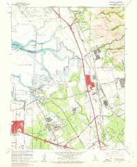
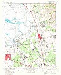
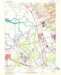
Editions of this 1961 Milpitas Map
7 editions found
Other maps of this area

1889 · San Jose
USGS Topo · 1:62,500

1897 · San Jose
USGS Topo · 1:62,500

1897 · Palo Alto
USGS Topo · 1:62,500

1899 · San Jose
USGS Topo · 1:62,500

1899 · Palo Alto
USGS Topo · 1:62,500

1899 · Haywards
USGS Topo · 1:62,500

1902 · Santa Cruz
USGS Topo · 1:125,000

1906 · Pleasanton
USGS Topo · 1:62,500

1915 · Haywards
USGS Topo · 1:62,500

1941 · Pleasanton
USGS Topo · 1:62,500