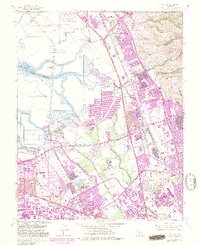
1961 Map of Milpitas
USGS Topo · Published 1980About this map
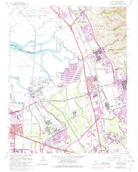
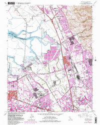
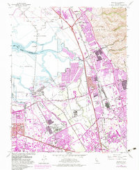
Coyote Creek and a network of Mud Slough and Guadalupe Slough define the wetlands at the southern end of the San Francisco Bay, where the landscape is dominated by industrial Salt Evaporators. This 1961 record, updated through 1980, captures the rapid urban transformation of the Santa Clara Valley. Residential expansion from Sunnyvale and San Jose presses against large institutional and industrial sites, including the Agnews State Hospital and a sprawling Automobile Assembly Plant near the Nimitz Freeway. The map preserves the footprint of older rail-oriented settlements like Drawbridge and the Warm Springs District, alongside the rising suburban infrastructure of Milpitas. This era marks the transition from a marshy, rural-industrial bayfront to the intensive development of the modern Silicon Valley, as shown by the dense grid of schools like Samuel Ayer High Sch and Russell Jr High Sch.
Find a feature on this map
58 named features on this map. Tap any name to fly to it.
Don’t see what you’re looking for? This feature index may not catch every label — zoom into the map to look around manually.
Map Details
Editions of this 1961 Milpitas Map
7 editions found
Other maps of this area

1889 · San Jose
USGS Topo · 1:62,500

1897 · San Jose
USGS Topo · 1:62,500

1897 · Palo Alto
USGS Topo · 1:62,500

1899 · San Jose
USGS Topo · 1:62,500

1899 · Palo Alto
USGS Topo · 1:62,500

1899 · Haywards
USGS Topo · 1:62,500

1902 · Santa Cruz
USGS Topo · 1:125,000

1906 · Pleasanton
USGS Topo · 1:62,500

1915 · Haywards
USGS Topo · 1:62,500

1941 · Pleasanton
USGS Topo · 1:62,500