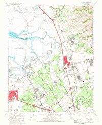
1961 Map of Milpitas
USGS Topo · Published 1966About this map
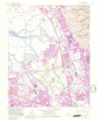
The sprawling Salt Evaporators of the South Bay dominate this 1961 landscape, where the tidal marshes of Mud Slough meet the rising industrial and institutional corridors of northern Santa Clara County. The map documents a pivotal era of regional transition, showing the massive Automobile Assembly Plant and the extensive grounds of both the Agnews State Hospital (East Area) and the Agnews State Hospital (West Area).
Find a feature on this map
65 named features on this map. Tap any name to fly to it.
Don’t see what you’re looking for? This feature index may not catch every label — zoom into the map to look around manually.
Map Details
Editions of this 1961 Milpitas Map
7 editions found
Other maps of this area

1889 · San Jose
USGS Topo · 1:62,500

1897 · San Jose
USGS Topo · 1:62,500

1897 · Palo Alto
USGS Topo · 1:62,500

1899 · San Jose
USGS Topo · 1:62,500

1899 · Palo Alto
USGS Topo · 1:62,500

1899 · Haywards
USGS Topo · 1:62,500

1902 · Santa Cruz
USGS Topo · 1:125,000

1906 · Pleasanton
USGS Topo · 1:62,500

1915 · Haywards
USGS Topo · 1:62,500

1941 · Pleasanton
USGS Topo · 1:62,500