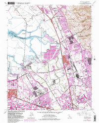
1961 Map of Milpitas
USGS Topo · Published 1983About this map
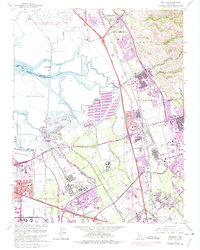
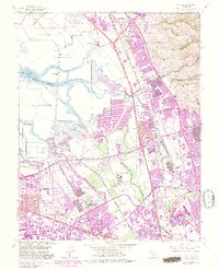
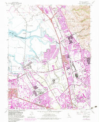
Salt Evaporators and winding sloughs dominate the edge of the bay in this detailed landscape of the Santa Clara Valley. The map captures a period of intense transition as agricultural land gives way to suburban and industrial development. The remote settlement of Drawbridge sits isolated among the marshlands of Mud Slough and Coyote Creek, while further inland, the growing urban centers of Sunnyvale, Milpitas, and San Jose begin to merge. Modern infrastructure is prominent, including the Automobile Assembly Plant and the expansive Great America Amusement Park. Institutional history is anchored by the Agnews State Hospital complexes. Water management is a defining theme, from the Milpitas Sewage Disposal facilities to the numerous creeks like Berryessa Creek and Penitencia Creek that drain the foothills into the bay. This document preserves the footprint of a region just before it became the heart of Silicon Valley.
Find a feature on this map
51 named features on this map. Tap any name to fly to it.
Don’t see what you’re looking for? This feature index may not catch every label — zoom into the map to look around manually.
Map Details
Editions of this 1961 Milpitas Map
7 editions found
Other maps of this area

1889 · San Jose
USGS Topo · 1:62,500

1897 · San Jose
USGS Topo · 1:62,500

1897 · Palo Alto
USGS Topo · 1:62,500

1899 · San Jose
USGS Topo · 1:62,500

1899 · Palo Alto
USGS Topo · 1:62,500

1899 · Haywards
USGS Topo · 1:62,500

1902 · Santa Cruz
USGS Topo · 1:125,000

1906 · Pleasanton
USGS Topo · 1:62,500

1915 · Haywards
USGS Topo · 1:62,500

1941 · Pleasanton
USGS Topo · 1:62,500