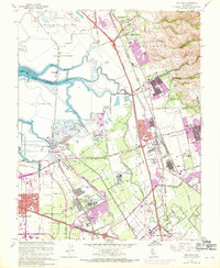
1961 Map of Milpitas
USGS Topo · Published 1969About this map
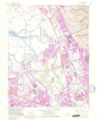
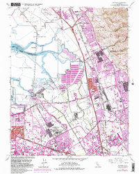
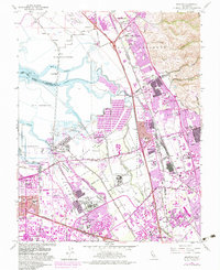
Coyote Creek and Mud Slough define the intricate marshland geography of the South Bay, where the historic settlement of Drawbridge sits isolated among vast Salt Evaporators. During the late 1960s, this area was undergoing a rapid transition from its agricultural and salt-harvesting roots toward major industrialization. The footprint of a massive Automobile Assembly Plant stands in contrast to the surrounding ranch lands and historic land grants like Tularcitos and Ulistac. Further south, the institutional presence of Agnews State Hospital and the Elmwood Rehabilitation Center mark the landscape near Agnew. The map also captures the early aviation era of the region, featuring both the Fremont Airport and the specialized Sky Sailing Airport. This edition includes purple revisions from 1968, documenting the accelerating urban expansion into former orchards and wetlands.
Find a feature on this map
77 named features on this map. Tap any name to fly to it.
Don’t see what you’re looking for? This feature index may not catch every label — zoom into the map to look around manually.
Map Details
Editions of this 1961 Milpitas Map
7 editions found
Other maps of this area

1889 · San Jose
USGS Topo · 1:62,500

1897 · San Jose
USGS Topo · 1:62,500

1897 · Palo Alto
USGS Topo · 1:62,500

1899 · San Jose
USGS Topo · 1:62,500

1899 · Palo Alto
USGS Topo · 1:62,500

1899 · Haywards
USGS Topo · 1:62,500

1902 · Santa Cruz
USGS Topo · 1:125,000

1906 · Pleasanton
USGS Topo · 1:62,500

1915 · Haywards
USGS Topo · 1:62,500

1941 · Pleasanton
USGS Topo · 1:62,500