
1949 Map of Mims
USGS Topo · Published 1961About this map
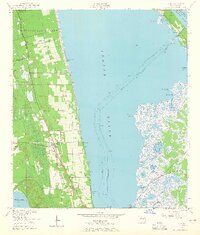
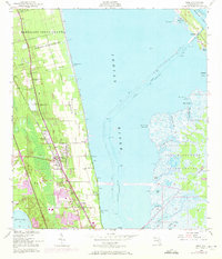
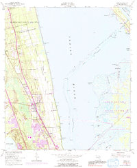
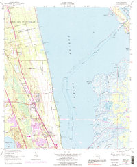
Mims and East Mims serve as the focal points of this mid-century coastal survey, situated along the Florida East Coast rail line. The landscape is defined by its complex hydrology and early colonial land history, featuring massive tracts like the Bernardo Segui Grant and Domingo Acosta Grant that break the standard township grid. To the west, the citrus-growing region of Turnbull Hummock transitions into marshlands, while the east is dominated by the broad expanse of the Indian River and the Intracoastal Waterway. This era of the Florida coast is captured before the heavy development of the space-age, showing established settlements like La Grange and Allenhurst near Mosquito Lagoon. An Indian Mound near South Lake hints at much earlier indigenous habitation, providing a deep-time contrast to the modern transport networks of the 1940s.
Find a feature on this map
40 named features on this map. Tap any name to fly to it.
Don’t see what you’re looking for? This feature index may not catch every label — zoom into the map to look around manually.
Map Details
Editions of this 1949 Mims Map
5 editions found
Other maps of this area

1949 · Oak Hill
USGS Topo · 1:24,000

1949 · Pardon Island
USGS Topo · 1:24,000

1949 · Orsino
USGS Topo · 1:24,000

1949 · Titusville
USGS Topo · 1:24,000

1949 · Wilson
USGS Topo · 1:24,000

1950 · Maytown
USGS Topo · 1:24,000

1950 · Aurantia
USGS Topo · 1:24,000

1951 · Orsino
USGS Topo · 1:24,000

1952 · Mims
USGS Topo · 1:24,000

1952 · Wilson
USGS Topo · 1:24,000