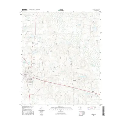
2016 Map of Mineola
USGS Topo · Published 2016About this map
Mineola serves as the primary urban hub on this Wood County landscape, where the confluence of regional travel routes meets the expansive wetlands of Lake Fork Cr. The town's grid is bounded by NW Loop 564, while the surrounding countryside is dotted with small residential clusters and recreational waters like Lake Brenda and Adkins Lake. This 2016 survey illustrates the modern rural-urban balance, showing the transition from the established City Cem in town to outlying rural communities such as New Hope and Hoard. The eastern portion of the map is defined by the dense hydrological network of Rock Falls Cr and the marshy edges of Rock Falls Lake. Infrastructure for the region is further anchored by the Wood County Airport in the northwest and the Rhodes Ranch Airport to the south, supporting the local aviation and ranching economy.
Find a feature on this map
121 named features on this map. Tap any name to fly to it.
Don’t see what you’re looking for? This feature index may not catch every label — zoom into the map to look around manually.
Map Details
Editions of this 2016 Mineola Map
This is the sole edition of this map. No revisions or reprints were ever made.
Other maps of this area

1956 · Tyler
USGS Topo · 1:250,000

1959 · Calvary
USGS Topo · 1:24,000

1959 · Golden
USGS Topo · 1:24,000

1959 · Van Lake
USGS Topo · 1:24,000

1959 · Grand Saline
USGS Topo · 1:62,500

1959 · Alba
USGS Topo · 1:62,500

1960 · Hainesville
USGS Topo · 1:24,000

1960 · Lindale
USGS Topo · 1:24,000

1960 · Mineola
USGS Topo · 1:24,000

1960 · Cartwright
USGS Topo · 1:24,000