2022 Map of Mineola
USGS Topo · Published 2022About this map
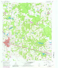
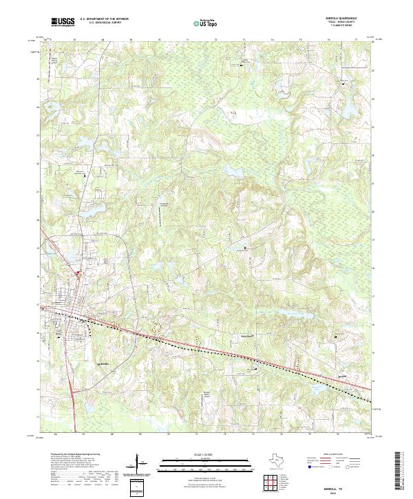
Mineola stands as a central hub in Wood County, positioned where modern transportation routes and older rural life converge. This landscape is defined by the headwaters of numerous creeks, including Glade Cr, Fourmile Br, and Lake Fork Cr, which feed into local reservoirs like Vickory Lake and Evans Lake. The survey reveals a high density of rural burial sites, including Freeman Chapel Cem and Concord Cem, serving as critical touchstones for genealogical research in the area. Aviation plays a visible role in the local geography, with the Wood County Airport and smaller strips like Rhodes Ranch Airport dotting the terrain. Moving east from the city center, the settlements of New Hope and Hoard anchor the countryside, with New Hope Cem and Dumas Cem preserving the record of early East Texas families.
Find a feature on this map
130 named features on this map. Tap any name to fly to it.
Don’t see what you’re looking for? This feature index may not catch every label — zoom into the map to look around manually.
Map Details
Editions of this 2022 Mineola Map
This is the sole edition of this map. No revisions or reprints were ever made.
Historical Maps of Concord Through Time
4 maps found