
1955 Map of Mingo
USGS Topo · Published 1956About this map
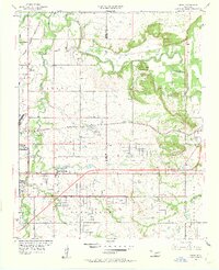
Bird Creek winds through the northern reaches of this mid-century landscape, framing a transition from rural Oklahoma farmland into the expanding urban periphery of Tulsa. The region is defined by its logistics and aviation infrastructure, anchored by the Tulsa Municipal Airport and the smaller Young Airport, alongside a dense network of transit corridors like Admiral Place and the Santa Fe railroad.
Find a feature on this map
39 named features on this map. Tap any name to fly to it.
Don’t see what you’re looking for? This feature index may not catch every label — zoom into the map to look around manually.
Map Details
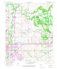
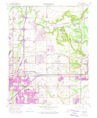
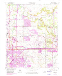
Editions of this 1955 Mingo Map
5 editions found
Other maps of this area

1901 · Claremore
USGS Topo · 1:125,000

1914 · Claremore
USGS Topo · 1:125,000

1916 · Claremore
USGS Topo · 1:125,000

1952 · Jenks
USGS Topo · 1:24,000

1954 · Tulsa
USGS Topo · 1:250,000

1954 · Tulsa
USGS Topo · 1:24,000

1955 · Sperry
USGS Topo · 1:24,000

1955 · Broken Arrow
USGS Topo · 1:24,000

1956 · Collinsville
USGS Topo · 1:24,000

1958 · Tulsa
USGS Topo · 1:250,000