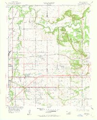
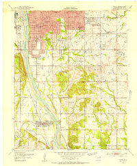
1955 Map of Mingo
USGS Topo · Published 1962About this map
Bird Creek meanders across the northern half of this landscape, carving through terrain marked by Hooper Hill and Round Mountain. In the mid-1950s, this area northeast of Tulsa shows a transition from rural townships like Lynn Lane and Dawson toward industrial and infrastructure expansion. The western edge is dominated by aviation, featuring the Tulsa Municipal Airport and a separate Landing Field, while the Young Airport sits further south.
Find a feature on this map
42 named features on this map. Tap any name to fly to it.
Don’t see what you’re looking for? This feature index may not catch every label — zoom into the map to look around manually.
Map Details
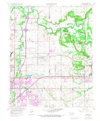
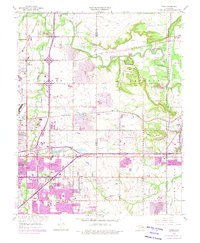
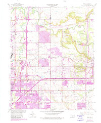
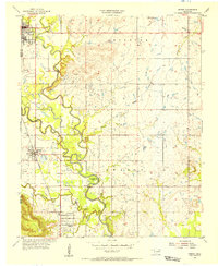
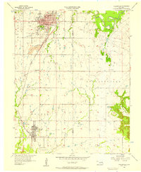
Editions of this 1955 Mingo Map
5 editions found
Other maps of this area

1901 · Claremore
USGS Topo · 1:125,000

1914 · Claremore
USGS Topo · 1:125,000

1916 · Claremore
USGS Topo · 1:125,000
1952 · Jenks
USGS Topo · 1:24,000

1954 · Tulsa
USGS Topo · 1:250,000

1954 · Tulsa
USGS Topo · 1:24,000
1955 · Sperry
USGS Topo · 1:24,000

1955 · Mingo
USGS Topo · 1:24,000

1955 · Broken Arrow
USGS Topo · 1:24,000
1956 · Collinsville
USGS Topo · 1:24,000