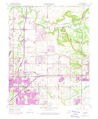
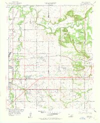
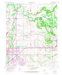
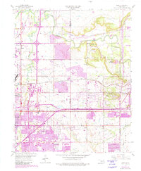
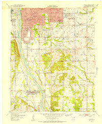
1955 Map of Mingo
USGS Topo · Published 1975About this map
Tulsa expands across this mid-century landscape where urban development meets established industrial and rural patterns. The northeastern outskirts of the city are defined by the Tulsa International Airport and the complex infrastructure of the Will Rogers Turnpike and St Louis San Francisco railroad lines. Settlement patterns are visible in communities like Catoosa and Mingo, while the presence of several Oil Wells and a prominent Drag Strip indicates the economic and social character of the era.
Find a feature on this map
51 named features on this map. Tap any name to fly to it.
Don’t see what you’re looking for? This feature index may not catch every label — zoom into the map to look around manually.
Map Details
Editions of this 1955 Mingo Map
5 editions found
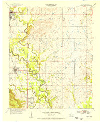
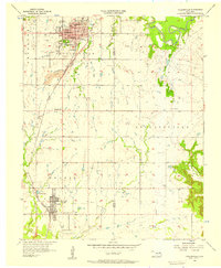
Other maps of this area

1901 · Claremore
USGS Topo · 1:125,000

1914 · Claremore
USGS Topo · 1:125,000

1916 · Claremore
USGS Topo · 1:125,000
1952 · Jenks
USGS Topo · 1:24,000

1954 · Tulsa
USGS Topo · 1:250,000

1954 · Tulsa
USGS Topo · 1:24,000
1955 · Sperry
USGS Topo · 1:24,000

1955 · Mingo
USGS Topo · 1:24,000

1955 · Broken Arrow
USGS Topo · 1:24,000
1956 · Collinsville
USGS Topo · 1:24,000