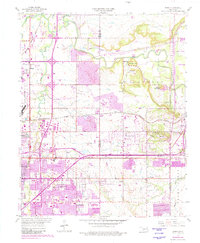
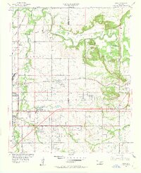
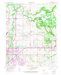
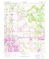
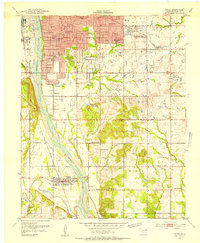
1955 Map of Mingo
USGS Topo · Published 1982About this map
Bird Creek and Spunky Creek frame the eastern outskirts of Tulsa as the city expanded across the Tulsa and Rogers County line. This mid-century view captures the transition from rural landholdings to suburban development, anchored by the Tulsa International Airport and the smaller Harvey Young Airport. The landscape is a mix of older rail-side settlements like Mingo and Catoosa alongside burgeoning 1950s neighborhoods.
Find a feature on this map
50 named features on this map. Tap any name to fly to it.
Don’t see what you’re looking for? This feature index may not catch every label — zoom into the map to look around manually.
Map Details
Editions of this 1955 Mingo Map
5 editions found
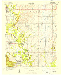
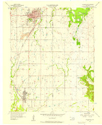
Other maps of this area

1901 · Claremore
USGS Topo · 1:125,000

1914 · Claremore
USGS Topo · 1:125,000

1916 · Claremore
USGS Topo · 1:125,000
1952 · Jenks
USGS Topo · 1:24,000

1954 · Tulsa
USGS Topo · 1:250,000

1954 · Tulsa
USGS Topo · 1:24,000
1955 · Sperry
USGS Topo · 1:24,000

1955 · Mingo
USGS Topo · 1:24,000

1955 · Broken Arrow
USGS Topo · 1:24,000
1956 · Collinsville
USGS Topo · 1:24,000