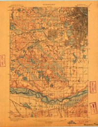
1901 Map of Minneapolis
USGS Topo · Published 1905About this map
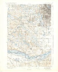
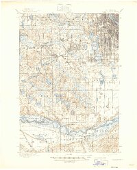
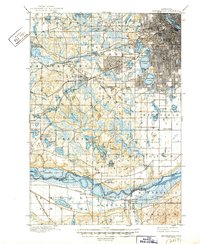
Calhoun Lake and Harriet Lake anchor a landscape in transition as the city grid of Minneapolis pushes westward into rural Hennepin County. The map captures a detailed snapshot of the region's early suburban and agrarian roots, from the lakeside developments near Lake of the Isles to the industrial presence of Edina Mills. Extensive rail networks including the Great Northern R.R. and the Chicago Milwaukee and St. Paul R.R. converge toward the urban core, while outlying settlements like St. Louis Park and West Minneapolis begin to take shape. Southward, the terrain shifts toward the winding Minnesota River, where the historic Bloomington Ferry provides a crossing point near Barden. Researchers will find a rich distribution of local landmarks, such as the Washburn Home, and the scattered waters of Medicine Lake and Shady Oak Lake before significant 20th-century development altered the shoreline and topography.
Find a feature on this map
79 named features on this map. Tap any name to fly to it.
Don’t see what you’re looking for? This feature index may not catch every label — zoom into the map to look around manually.
Map Details
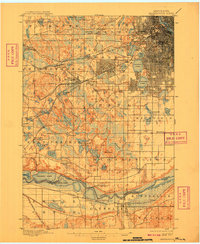
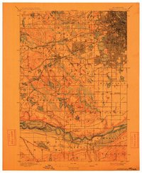
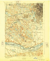
Editions of this 1901 Minneapolis Map
8 editions found
Other maps of this area

1896 · Minneapolis
USGS Topo · 1:62,500

1896 · St. Paul
USGS Topo · 1:62,500

1901 · Minneapolis
USGS Topo · 1:62,500

1902 · White Bear
USGS Topo · 1:62,500

1902 · Anoka
USGS Topo · 1:62,500

1905 · Minnetonka
USGS Topo · 1:62,500

1907 · Minnetonka
USGS Topo · 1:62,500

1909 · Rockford
USGS Topo · 1:62,500

1951 · St. Paul West
USGS Topo · 1:24,000

1951 · St. Paul SW
USGS Topo · 1:24,000