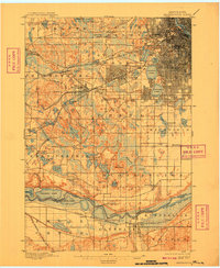
1901 Map of Minneapolis
USGS Topo · Published 1909About this map
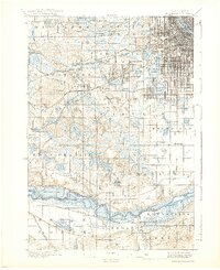
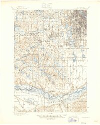
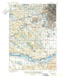
The growing urban grid of Mississippi River neighborhoods meets a dense network of suburban lake settlements and vital rail lines in this early century study of the Minneapolis outskirts. The map documents a landscape defined by water and transit, where the well-established lakes of Cedar Lake, Lake of the Isles, and Calhoun Lake neighbor burgeoning centers like St. Louis Park and West Minneapolis. Moving south toward the river bluffs, the terrain transitions into the agricultural expanses of Edina and Bloomington, punctuated by local landmarks such as Mt. Gilboa and the institutional Washburn Home. This era represents a significant phase of regional connectivity, illustrated by the numerous rail corridors like the Great Northern and the Chicago Milwaukee and St. Paul RR, as well as the important river crossing at Bloomington Ferry, which served as a primary link across the Minnesota River before modern bridges replaced it.
Find a feature on this map
82 named features on this map. Tap any name to fly to it.
Don’t see what you’re looking for? This feature index may not catch every label — zoom into the map to look around manually.
Map Details
Editions of this 1901 Minneapolis Map
8 editions found
Other maps of this area

1896 · Minneapolis
USGS Topo · 1:62,500

1896 · St. Paul
USGS Topo · 1:62,500

1901 · Minneapolis
USGS Topo · 1:62,500

1902 · White Bear
USGS Topo · 1:62,500

1902 · Anoka
USGS Topo · 1:62,500

1905 · Minnetonka
USGS Topo · 1:62,500

1907 · Minnetonka
USGS Topo · 1:62,500

1909 · Rockford
USGS Topo · 1:62,500

1951 · St. Paul West
USGS Topo · 1:24,000

1951 · St. Paul SW
USGS Topo · 1:24,000