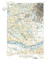
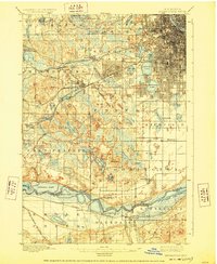
1901 Map of Minneapolis
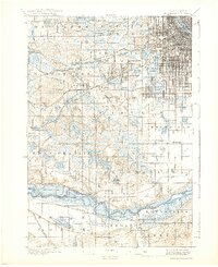
USGS Topo · Published 1949About this map
Minneapolis and its burgeoning southwestern suburbs are documented here during a period of rapid transit-driven growth. The expansion of the city grid is particularly evident near the chain of lakes, including Cedar Lake, Lake of the Isles, and Calhoun Lake. This era predates the widespread motorcar, evidenced by the prominence of the St. Paul and Minneapolis Electric R.R. and heavy rail lines like the Chicago Milwaukee and St. Paul R.R. which connected the core to outlying industrial hubs like West Minneapolis and Hopkins.
Find a feature on this map
83 named features on this map. Tap any name to fly to it.
Don’t see what you’re looking for? This feature index may not catch every label — zoom into the map to look around manually.
Map Details
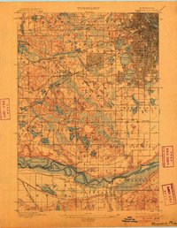
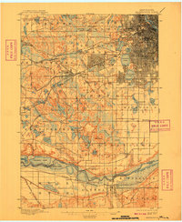
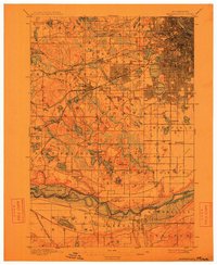
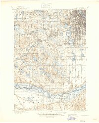
Editions of this 1901 Minneapolis Map
8 editions found
Other maps of this area

1896 · Minneapolis
USGS Topo · 1:62,500

1896 · St. Paul
USGS Topo · 1:62,500

1901 · Minneapolis
USGS Topo · 1:62,500

1902 · White Bear
USGS Topo · 1:62,500

1902 · Anoka
USGS Topo · 1:62,500

1905 · Minnetonka
USGS Topo · 1:62,500

1907 · Minnetonka
USGS Topo · 1:62,500

1909 · Rockford
USGS Topo · 1:62,500

1951 · St. Paul West
USGS Topo · 1:24,000

1951 · St. Paul SW
USGS Topo · 1:24,000