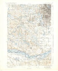
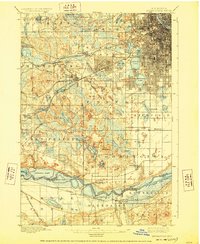
1901 Map of Minneapolis
USGS Topo · Published 1938About this map
Calhoun Lake, Harriet Lake, and the Lake of the Isles dominate the southwestern edge of the city grid in this late nineteenth-century survey. The landscape transitions from the urban density of Minneapolis into the emerging suburbs and rural townships of Hennepin Co. and Scott Co. to the south. A dense network of railways, including the Great Northern and Chicago Milwaukee and St. Paul, facilitates the expansion of early settlements like St. Louis Park, Hopkins, and Edina.
Find a feature on this map
81 named features on this map. Tap any name to fly to it.
Don’t see what you’re looking for? This feature index may not catch every label — zoom into the map to look around manually.
Map Details
Editions of this 1901 Minneapolis Map
8 editions found
Other maps of this area

1896 · Minneapolis
USGS Topo · 1:62,500

1896 · St. Paul
USGS Topo · 1:62,500

1901 · Minneapolis
USGS Topo · 1:62,500

1902 · White Bear
USGS Topo · 1:62,500

1902 · Anoka
USGS Topo · 1:62,500

1905 · Minnetonka
USGS Topo · 1:62,500

1907 · Minnetonka
USGS Topo · 1:62,500

1909 · Rockford
USGS Topo · 1:62,500

1951 · St. Paul West
USGS Topo · 1:24,000

1951 · St. Paul SW
USGS Topo · 1:24,000