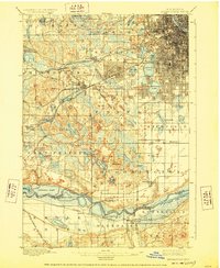
1901 Map of Minneapolis
USGS Topo · Published 1928About this map
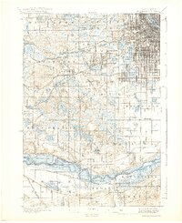
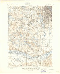
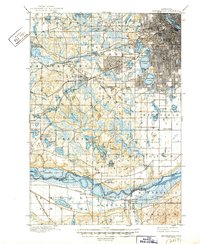
St. Louis Park and West Minneapolis stand as established railroad hubs in this late 19th-century landscape, positioned at the convergence of major lines like the Great Northern RR and the Minneapolis and St. Louis RR. The map reveals the intricate water network defining the region, from the iconic chain including Cedar Lake and Lake of the Isles to the meandering course of Minnehaha Creek. Rural life south of the city is anchored by settlements such as Eden Prairie and Bloomington, where the Bloomington Ferry provided a critical crossing of the Minnesota River. Significant landmarks like the Washburn Home and the prominent elevation of Mt. Gilboa offer distinct geographic anchors for researchers. The presence of the St. Paul and Minneapolis Electric RR illustrates the early integration of the metropolitan area even as much of the surrounding terrain remained undeveloped township land.
Find a feature on this map
79 named features on this map. Tap any name to fly to it.
Don’t see what you’re looking for? This feature index may not catch every label — zoom into the map to look around manually.
Map Details
Editions of this 1901 Minneapolis Map
8 editions found
Other maps of this area

1896 · Minneapolis
USGS Topo · 1:62,500

1896 · St. Paul
USGS Topo · 1:62,500

1901 · Minneapolis
USGS Topo · 1:62,500

1902 · White Bear
USGS Topo · 1:62,500

1902 · Anoka
USGS Topo · 1:62,500

1905 · Minnetonka
USGS Topo · 1:62,500

1907 · Minnetonka
USGS Topo · 1:62,500

1909 · Rockford
USGS Topo · 1:62,500

1951 · St. Paul West
USGS Topo · 1:24,000

1951 · St. Paul SW
USGS Topo · 1:24,000