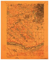
1901 Map of Minneapolis
USGS Topo · Published 1912About this map
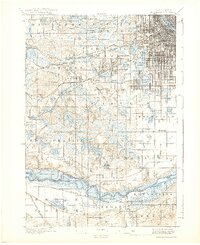
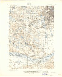
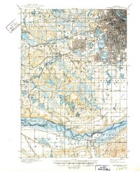
Bloomington Ferry and the crossings of the Minnesota River anchor the southern reach of this landscape at the opening of the twentieth century. The map captures the westward expansion of Minneapolis into Hennepin County, where established town grids like St. Louis Park and Edina meet more rural settlements such as Rowland and Bloomfield. The central portion of the sheet is defined by a dense network of water bodies, including Calhoun Lake, Harriet Lake, and the Anderson Lakes, which shaped the early development patterns of the surrounding townships.
Find a feature on this map
83 named features on this map. Tap any name to fly to it.
Don’t see what you’re looking for? This feature index may not catch every label — zoom into the map to look around manually.
Map Details
Editions of this 1901 Minneapolis Map
8 editions found
Other maps of this area

1896 · Minneapolis
USGS Topo · 1:62,500

1896 · St. Paul
USGS Topo · 1:62,500

1901 · Minneapolis
USGS Topo · 1:62,500

1902 · White Bear
USGS Topo · 1:62,500

1902 · Anoka
USGS Topo · 1:62,500

1905 · Minnetonka
USGS Topo · 1:62,500

1907 · Minnetonka
USGS Topo · 1:62,500

1909 · Rockford
USGS Topo · 1:62,500

1951 · St. Paul West
USGS Topo · 1:24,000

1951 · St. Paul SW
USGS Topo · 1:24,000