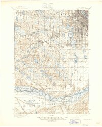
1901 Map of Minneapolis
USGS Topo · Published 1946About this map
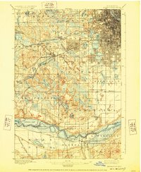
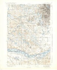
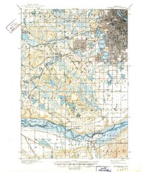
Medicine Lake and the developing suburban fringe west of Minneapolis define this 1894 landscape, recorded just before the turn of the century. The region is characterized by a dense network of glacial water bodies, from the prominent Lake Minnetonka and Calhoun Lake to smaller features like Peterson Lake and Red Rock Lake. At this time, the landscape is a mix of agricultural townships and emerging rail-oriented settlements. Key transportation corridors are well-established, with the Great Northern RR and the Chicago Milwaukee and St. Paul RR facilitating growth in places like West Minneapolis and Hopkins. The map also captures local institutional landmarks such as the Washburn Home and the historic crossing at Bloomington Ferry on the Minnesota River. Significant terrain features, including Mt. Gilboa, provide local relief amidst the prairie and marshland that once dominated southern Hennepin County.
Find a feature on this map
78 named features on this map. Tap any name to fly to it.
Don’t see what you’re looking for? This feature index may not catch every label — zoom into the map to look around manually.
Map Details
Editions of this 1901 Minneapolis Map
8 editions found
Other maps of this area

1896 · Minneapolis
USGS Topo · 1:62,500

1896 · St. Paul
USGS Topo · 1:62,500

1901 · Minneapolis
USGS Topo · 1:62,500

1902 · White Bear
USGS Topo · 1:62,500

1902 · Anoka
USGS Topo · 1:62,500

1905 · Minnetonka
USGS Topo · 1:62,500

1907 · Minnetonka
USGS Topo · 1:62,500

1909 · Rockford
USGS Topo · 1:62,500

1951 · St. Paul West
USGS Topo · 1:24,000

1951 · St. Paul SW
USGS Topo · 1:24,000