
1901 Map of Minneapolis
USGS Topo · Published 1901About this map
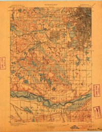
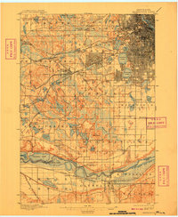
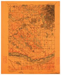
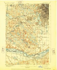
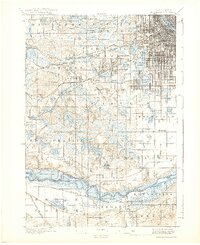
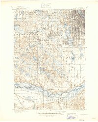
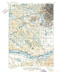
Edina Mills and the developing street grids of Minneapolis Park anchor a landscape caught between its agrarian roots and the expanding influence of the Twin Cities. This survey, conducted under the direction of Charles D. Walcott, reveals a dense network of water bodies, from the prominent Medicine Lake to the chain of lakes including Calhoun Lake and Harriet Lake. The early industrial footprint is evident in the milling operations and the convergence of several major rail lines, such as the Great Northern RR and the Chicago Milwaukee and St. Paul RR, which link the various townships. Researchers will note the early placements of the Washburn Home and the Eden Prairie Post Office, reflecting the scattered settlement patterns before the suburbs consolidated. The southern reaches are defined by the winding course of the Mississippi River, where the Bloomington Ferry served as a vital crossing point into Scott County.
Find a feature on this map
82 named features on this map. Tap any name to fly to it.
Don’t see what you’re looking for? This feature index may not catch every label — zoom into the map to look around manually.
Map Details
Editions of this 1901 Minneapolis Map
8 editions found
Historical Maps of North Tyrol Through Time
3 maps found

