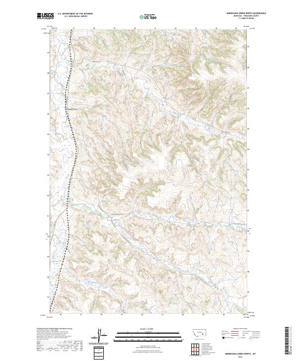
2024 Map of Minnehaha Creek North
USGS Topo · Published 2024About this map
Minnehaha Creek and Sarpy Creek define the drainage patterns of this contemporary Montana landscape, where the high plains are carved by a network of seasonal coulees. The map illustrates a vast ranching and grazing territory, organized by a grid of rural routes including Sarpy Rd and Bear Creek Rd. Natural water sources are critical features here, marked by named points like Outlaw Spring and the numerically identified 03N37E09ACCB01 Spring. The topography is shaped by significant landforms such as Outlaw Coulee and Sawmill Coulee, which separate the headwaters of Beaver Creek and the South Fork Beaver Creek. This detailed modern survey documents the current parceling of land across townships T3N and T4N, showing how transportation remains tied to the winding paths of Corral Creek and West Bear Creek.
Find a feature on this map
24 named features on this map. Tap any name to fly to it.
Don’t see what you’re looking for? This feature index may not catch every label — zoom into the map to look around manually.
Map Details
Editions of this 2024 Minnehaha Creek North Map
This is the sole edition of this map. No revisions or reprints were ever made.
Other maps of this area

1954 · Hardin
USGS Topo · 1:250,000

1954 · Forsyth
USGS Topo · 1:250,000

1957 · Hardin
USGS Topo · 1:250,000

1957 · Forsyth
USGS Topo · 1:250,000

1958 · Forsyth
USGS Topo · 1:250,000

1958 · Hardin
USGS Topo · 1:250,000

1971 · Mc Clure Creek
USGS Topo · 1:24,000

1971 · Griffin Coulee SW
USGS Topo · 1:24,000
1971 · Griffin Coulee NW
USGS Topo · 1:24,000

1972 · Minnehaha Creek South
USGS Topo · 1:24,000