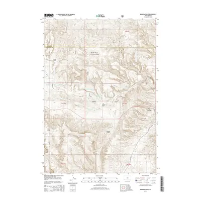
2015 Map of Minnekahta NE
USGS Topo · Published 2015About this map
Black Hills National Forest land dominates the northern and central portions of this South Dakota landscape, where steep drainages and canyons carve through the limestone plateau. The city of Hot Springs appears in the eastern margin, serving as a gateway to the complex topography of the southern Black Hills. Local water management is centered on the Cottonwood Springs Lake, a reservoir situated along Cottonwood Springs Cr north of the settlement of Erskine.
Find a feature on this map
32 named features on this map. Tap any name to fly to it.
Don’t see what you’re looking for? This feature index may not catch every label — zoom into the map to look around manually.
Map Details
Editions of this 2015 Minnekahta NE Map
This is the sole edition of this map. No revisions or reprints were ever made.
Other maps of this area

1894 · Hermosa
USGS Topo · 1:125,000

1896 · Oelrichs
USGS Topo · 1:125,000

1896 · Harney Peak
USGS Topo · 1:125,000

1900 · Oelrichs
USGS Topo · 1:125,000

1901 · Hermosa
USGS Topo · 1:125,000

1901 · Harney Peak
USGS Topo · 1:125,000

1902 · Edgemont
USGS Topo · 1:125,000

1950 · Hot Springs
USGS Topo · 1:24,000

1950 · Cascade Springs
USGS Topo · 1:24,000

1950 · Angostura Reservoir
USGS Topo · 1:24,000