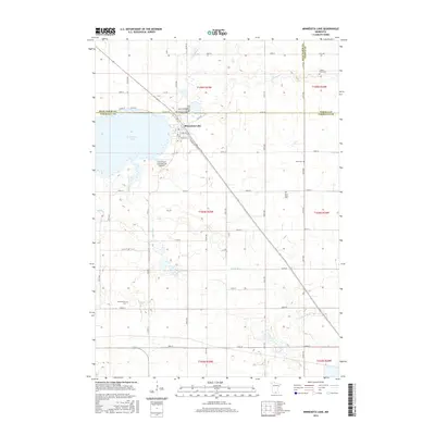
2016 Map of Minnesota Lake
USGS Topo · Published 2016About this map
The settlement of Minnesota Lake sits at the junction of three counties—Blue Earth, Faribault, and Waseca—marking a high-water point of agricultural and transportation development in southern Minnesota. This landscape is defined by its water systems and rural burial grounds, reflecting the deep-seated communal history of the region. Local genealogy is anchored by several sites, including Oak Grove Cem, Saint John Cem, and Peace Cem clustered near the town, while the outlying Zions Cem and Schermerhorn Cem serve the broader farming townships. The Maple River and Cobb River wind through the prairie terrain, providing natural drainage for the vast grid of local roads and farmsteads. Near the lake's eastern shore, the B & D Flyers International Airport and Railway Dr indicate the ongoing importance of regional transit and connectivity for this tri-county borderland.
Find a feature on this map
52 named features on this map. Tap any name to fly to it.
Don’t see what you’re looking for? This feature index may not catch every label — zoom into the map to look around manually.
Map Details
Editions of this 2016 Minnesota Lake Map
This is the sole edition of this map. No revisions or reprints were ever made.
Other maps of this area

1954 · Mason City
USGS Topo · 1:250,000

1955 · Bricelyn
USGS Topo · 1:62,500

1955 · Wells
USGS Topo · 1:62,500

1957 · Mason City
USGS Topo · 1:250,000

1958 · Mason City
USGS Topo · 1:250,000

1967 · Minnesota Lake
USGS Topo · 1:24,000

1967 · Waldorf
USGS Topo · 1:24,000
1967 · Matawan
USGS Topo · 1:24,000
1967 · Mapleton
USGS Topo · 1:24,000
1967 · Easton
USGS Topo · 1:24,000