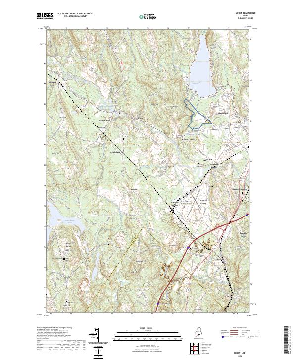
2024 Map of Minot
USGS Topo · Published 2024About this map
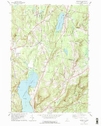
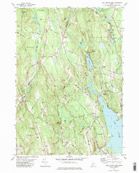
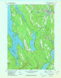
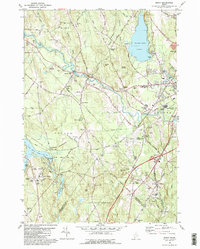
Poland Spring and the Little Androscoggin River valley define this portion of Androscoggin County, where industrial history meets classic Maine geography. The map captures a complex network of small settlements and junctions, such as Hackett Mills, Haskell Corner, and Rumford Junction, reflecting the area's development around water power and transit routes. The landscape is dotted with ancestral markers for genealogists, including the Shaker Cem near Shaker Hill and the Verrill Family Cem.
Find a feature on this map
163 named features on this map. Tap any name to fly to it.
Don’t see what you’re looking for? This feature index may not catch every label — zoom into the map to look around manually.
Map Details
Editions of this 2024 Minot Map
This is the sole edition of this map. No revisions or reprints were ever made.
Historical Maps of Mechanic Falls Through Time
24 maps found
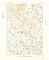
1908 Poland
Androscoggin County, ME

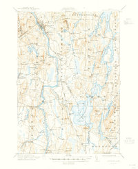
1910 Livermore
Androscoggin County, ME
1912 Livermore
Androscoggin County, ME

1940 Poland
Androscoggin County, ME

1941 Livermore
Androscoggin County, ME

1942 Poland
Androscoggin County, ME
1956 Poland
Androscoggin County, ME
1967 Livermore Falls
Androscoggin County, ME
1967 Turner Center
Androscoggin County, ME
1979 Lake Auburn East
Androscoggin County, ME
1979 Lisbon Falls North
Androscoggin County, ME
1979 Monmouth
Androscoggin County, ME
1981 Lake Auburn West
Androscoggin County, ME
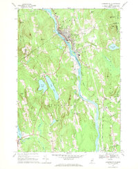
1981 Mechanic Falls
Androscoggin County, ME
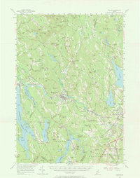
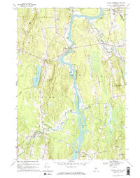
1981 Minot
Androscoggin County, ME
1995 Mechanic Falls
Androscoggin County, ME
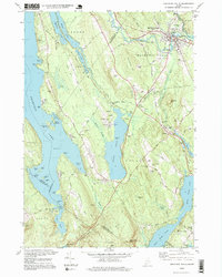
2024 Lake Auburn East
Androscoggin County, ME
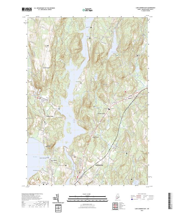
2024 Lake Auburn West
Androscoggin County, ME
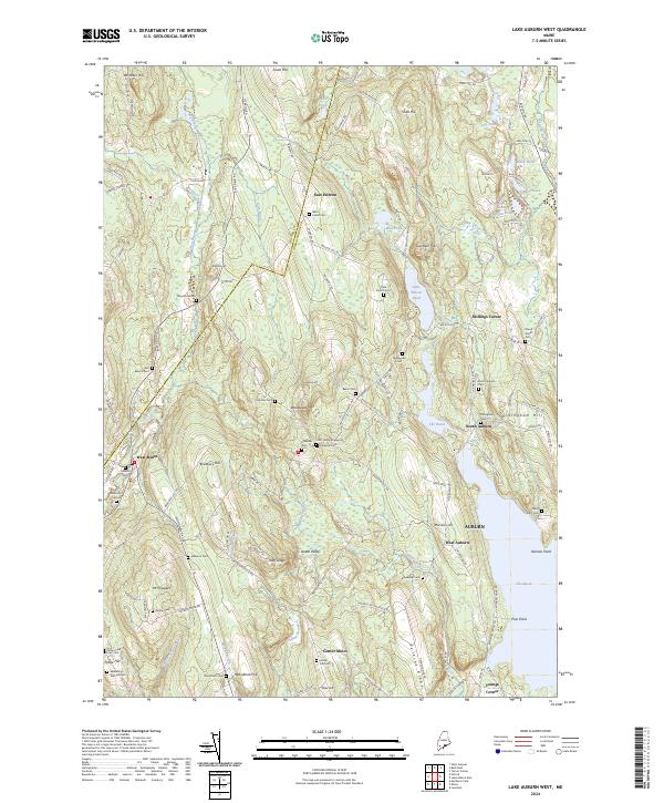
2024 Lisbon Falls North
Androscoggin County, ME
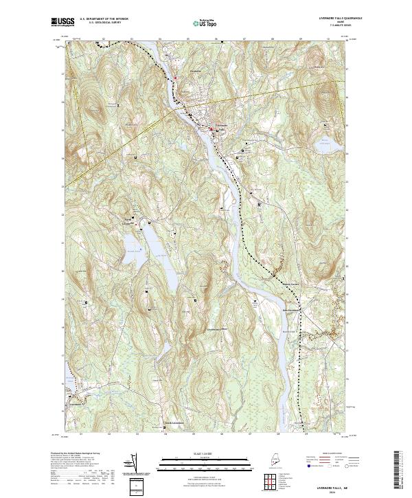
2024 Livermore Falls
Androscoggin County, ME
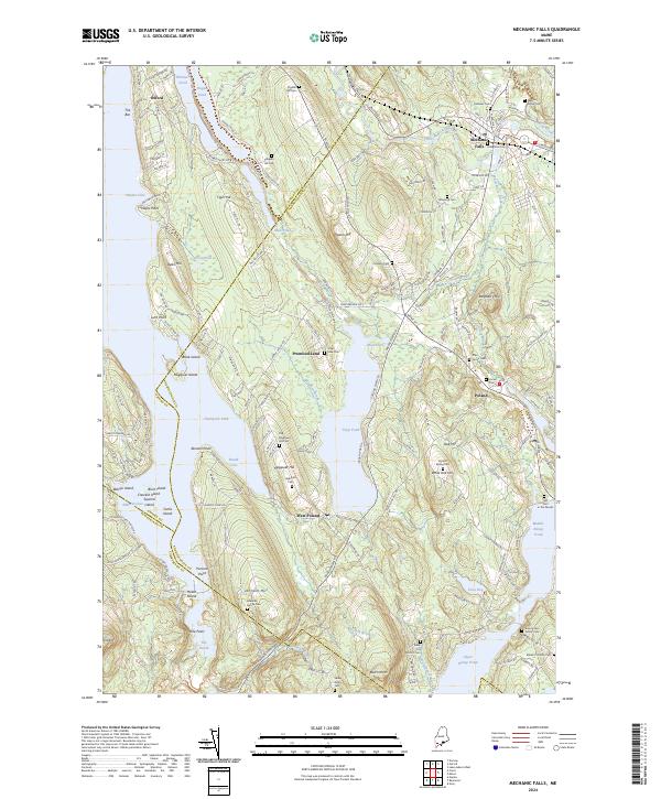
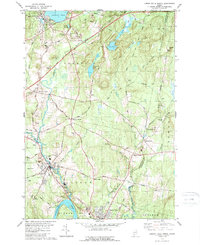
2024 Mechanic Falls
Androscoggin County, ME
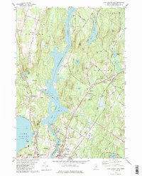
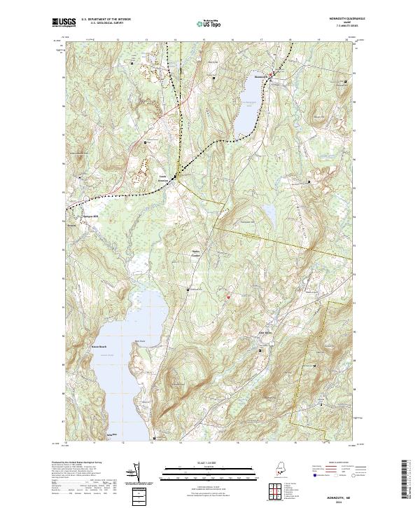
2024 Minot
Androscoggin County, ME
2024 Monmouth
Androscoggin County, ME
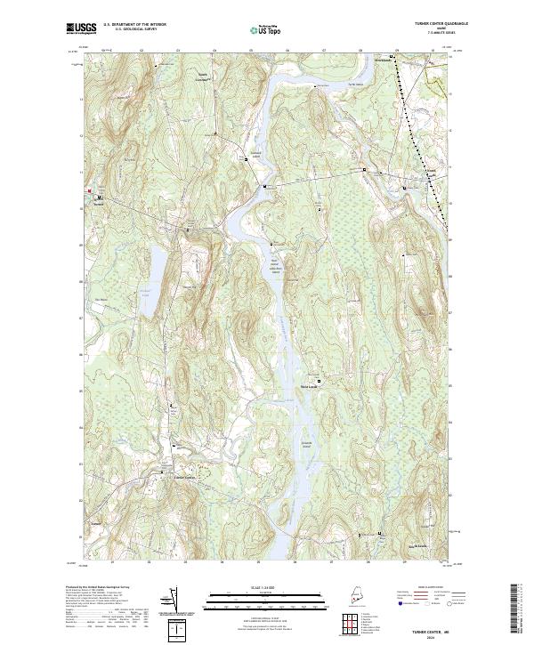
2024 Turner Center
Androscoggin County, ME