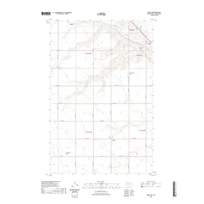
2020 Map of Minot NW
USGS Topo · Published 2020About this map
Burlington and the winding Souris River occupy the northeastern corner of this Ward County landscape, where the prairie begins to break into a network of steep coulees. The terrain is defined by dramatic erosional features like Gassman Coulee and South Branch Coulee, which cut through the high plains toward the river valley. To the west and south, the settlement pattern shifts to a regular grid of section-line roads, connecting small rural centers such as Ralston and Drady. Genealogical interest centers on Drady Cem, situated near the south-central portion of the map. This era shows a landscape managed for aviation and transit, featuring the Flying S Ranch Airport and a dense network of local routes including Co Rd 16 and Co Hwy 14, providing a clear record of rural infrastructure in the Minot vicinity.
Find a feature on this map
36 named features on this map. Tap any name to fly to it.
Don’t see what you’re looking for? This feature index may not catch every label — zoom into the map to look around manually.
Map Details
Editions of this 2020 Minot NW Map
This is the sole edition of this map. No revisions or reprints were ever made.
Other maps of this area

1928 · Minot
USGS Topo · 1:62,500

1948 · Burlington
USGS Topo · 1:24,000

1948 · Burlington
USGS Topo · 1:62,500

1948 · Minot NW
USGS Topo · 1:24,000

1949 · Minot NW
USGS Topo · 1:24,000

1949 · Burlington SE
USGS Topo · 1:24,000

1949 · Minot
USGS Topo · 1:24,000

1950 · Des Lacs
USGS Topo · 1:24,000
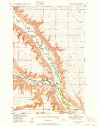
1950 · Burlington
USGS Topo · 1:24,000
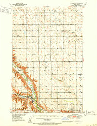
1951 · Burlington
USGS Topo · 1:62,500